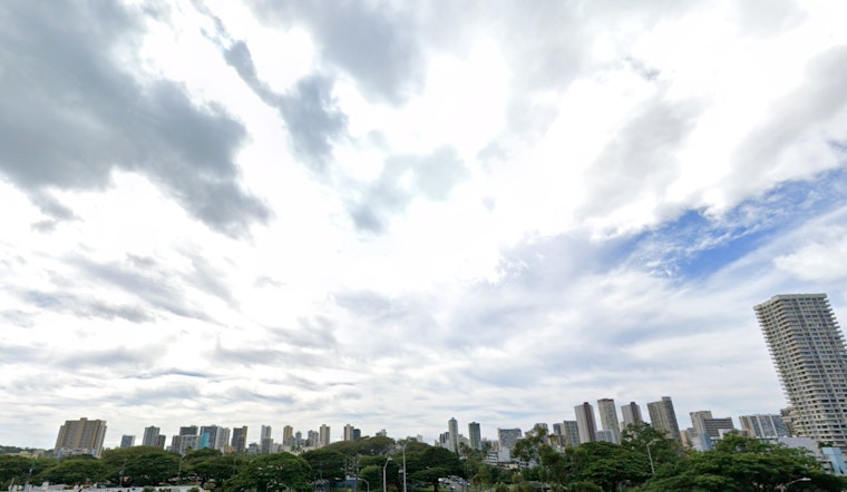
Honolulu residents can expect typical island weather in the coming days, with moderate to locally breezy trade winds, according to the latest NWS Honolulu forecast. Most showers are expected over windward and mauka areas and should remain relatively light through tomorrow. Residents and visitors on the leeward slopes of the Big Island may see afternoon showers, while most other leeward locations are forecast to stay dry.
Forecasts indicate a stable weather pattern will persist through late Thursday, driven by a surface high pressure centered about 1,000 miles north of Kauai. Isolated showers have been spotted mainly over windward Oahu and Kauai, with rainfall gauges only recording a few hundredths of an inch. While windward areas are set for a slight increase in showers Tuesday night and Wednesday, trade winds should begin to decrease around midweek, experiencing a more significant decline by Friday.
The aviation report details that moderate trade winds will continue, favoring VFR conditions for most sites, with possible MVFR conditions within passing showers over windward and mauka regions. An AIRMET Sierra alert remains effective for mountain obscuration due to low clouds and showers, but it should improve later in the morning.
On the marine side, small craft advisories are in place until 6 PM HST for windier channels, with increased easterly winds expected to build in the area. According to the NWS report, a small north swell will come in today, followed by several small period swells throughout the week, with a more moderate northwest swell joining the mix by the weekend. By the end of the week, surf along south shores will witness a small fade from a south swell but should not go flat due to an incoming series of small swells. Facing an inflow of moderate trade winds, east shore surf should remain small.
Despite breezy conditions and dry weather, fire danger is expected to remain below critical thresholds through tomorrow. A brief period of wetter weather is forecast for Wednesday, with a strengthening inversion expected to lower to between 5,000 and 6,000 feet on Monday.


