Northern Ohio residents, brace yourselves for a weather rollercoaster, as provided by the National Weather Service Cleveland. High pressure sliding from Ontario and Quebec towards New England is about to make way for low pressure sweeping in from the Upper Midwest. Wrap your Sunday plans snugly in caution; this incoming low is hitching a ride with a warm front that harbors intentions of speckling our skies with scattered showers and thunderstorms. The warm front, lifting across the region tonight and into Sunday, will shift our weather patterns from quiet to unpredictable.
An increase in dew points is expected to lead to lower-than-usual humidity levels this afternoon, with levels projected to drop between 30-40% in select areas. This dry spell, however, won't spawn any fire weather statements despite "tinder dry soils and trees and brush already drying out/dropping leaves," according to the National Weather Service Cleveland. Northern Ohio and NW Pennsylvania will be looking at highs climbing into the mid 70s to around 80, with the mercury expected to nudge even higher in other regions.
As the weekend draws to a close, get ready to roll out the welcome mat for a more humid air mass. Dew points will be rising into the 60s come Sunday, giving life to a few hundred joules of MLCAPE—a fancy way to say 'enough energy to brew some afternoon storms.' Not everyone will get wet, but the forecast marks a much-needed shift towards a wetter pattern. Night owls and early birds alike will likely clock more mild conditions, with lows hovering in the upper 50s to low 60s.
Looking ahead into early next week, the low-pressure system is slated to continue its steady trek into the northern Great Lakes region. As this happens, the trailing cold front will saunter into northern Ohio by Monday morning—slowly, because everything's slow when it's cut off from the main flow. This sluggishness, however, comes as a blessing for rain chances, with the potential for over an inch falling in some spots, given the "favorable right entrance region for enhanced ascent ahead of the front," per the folks at National Weather Service Cleveland. Here's to hoping for a soggy gift that keeps on giving.
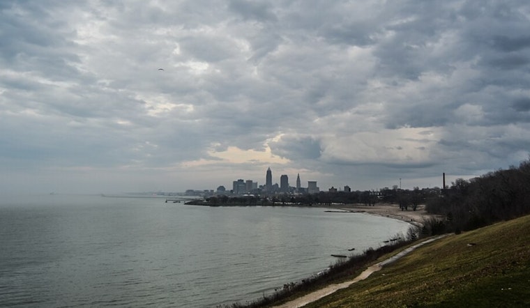
For mariners setting sail on Lake Erie, be sure to heed the National Weather Service's small craft advisory in effect until early Sunday. With east-northeast winds expected to be as frisky as 15-25 knots, conditions on ol' Erie might just turn a bit choppy, with waves predicted to hit 3-5 feet. The NWS also issued a beach hazard statement—wooden boardwalk café patrons, take note. After the warm front crosses on Sunday morning, winds should pivot to the south, which may introduce brief spicy gusts, especially in the eastern basin. Further into the week, the marine forecast points towards calmer waters post-Monday.


.jpg)