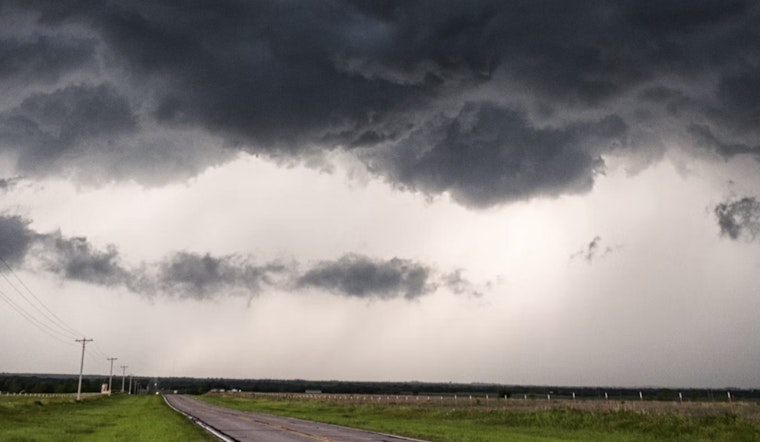
Raleigh residents might want to keep their umbrellas close and waterproof gear ready as the National Weather Service in Raleigh predicts a fluctuating pattern of showers and possibly severe thunderstorms rolling through central North Carolina from Thursday to Tuesday. According to an update provided by the NWS early this morning, those living in areas including Person, Granville, Vance, Warren, and Halifax should prepare for isolated severe storms that may bring damaging wind gusts and potential flash flooding especially in urban and low-lying regions.
This afternoon will bring partly sunny skies with a 20% chance of showers and storms, and highs in the low 90s. Rain chances increase to 50% tonight with mostly cloudy skies and a low near 71. Rainfall could reach up to half an inch.
Friday and Saturday both carry a 60% chance of showers and thunderstorms, mainly in the late afternoon. Highs will be in the upper 70s to low 80s, with southeast winds developing by Saturday afternoon. Rainfall may total up to three-quarters of an inch.
Sunday and Monday each have a 50% chance of showers and storms, while Tuesday drops to a 30% chance. Conditions are expected to improve by Wednesday, with mostly sunny skies and a high near 75.
The Hazardous Weather Outlook suggests that "isolated flash flooding will be possible Thursday and Friday, especially in urban and low-lying areas."


