The National Weather Service in Cleveland has laid out a clear blueprint for the weather ahead, and it looks like we're in for some pretty steady conditions. High pressure will be the defining story, taking over the eastern Great Lakes and shuffling towards the Mid-Atlantic through Saturday. According to the National Weather Service forecast discussion issued early this morning, folks inland from Lake Erie are getting an extra helping of low humidity, all thanks to the regional lake breeze.
For those expecting a shower to break the monotony, it's not likely to happen. The model soundings are standing firm against rain for the near term, dealing disappointment to those pining for a drizzle to wash away the workweek's dust and heat. Saturday night hinted at the potential for rain, but that possibility has shrunk to a meager 20 percent for Northwest Ohio, seemingly deterred by the return moisture that can't quite grasp onto the region. Meanwhile, the rest of us will see sunny skies and temperatures hovering in those comfortable low to mid-80s.
Heading into next week, the weather story seems like more of the same - which isn't necessarily a bad thing if you're a fan of predictability. This upper-level ridge, doing its best Atlas impersonation, holding firm to its spot well into Ontario according to the NWS update, ensures that Northeast Ohio will continue enjoying above normal temperatures, while those enjoying a laker lifestyle around Erie can expect a more moderate climate.
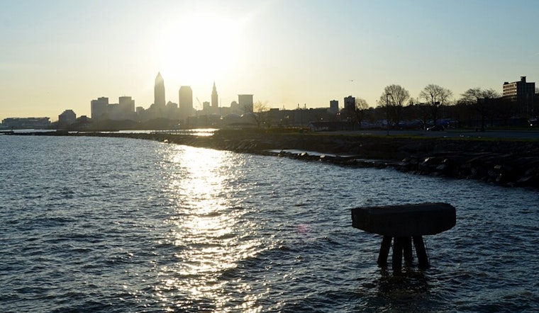
For the seafaring crowd, Lake Erie is set to be your placid paradise for the week; under the wing of high pressure to the east, expect negligible winds and waves not daring to crest above the 2-foot mark - some chop could whip up slightly, thanks to a favorable pressure gradient and a sassy lake-land temperature differential Monday through Wednesday, but that's about as unruly as it gets. So, for anyone keeping hope for a bit of aquatic drama, this might not be your week, as the marine forecast, detailed in the latest briefing, plainly suggests.


.jpg)