According to the National Weather Service in Honolulu, breezy trade winds in addition to an upper-level low are expected to continue ushering in showers during the morning. The trade winds are forecast to decrease slightly as the week progresses, with the precipitation primarily affecting the windward slopes on Monday and Tuesday. A dry spell is predicted to settle in for the remainder of the week, offering a respite from the wet weather.
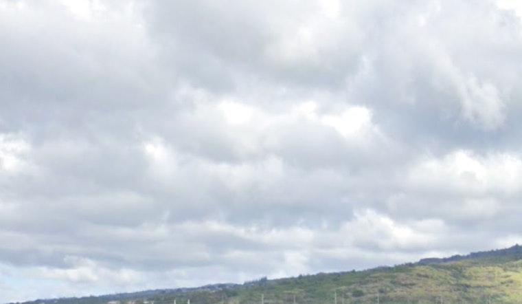
Radar and satellite data, accessed by National Weather Service, depict scattered showers across the Hawaiian Islands, with low clouds being ferried predominantly to windward locales by the trades. Unstable conditions, caused by the overhead meandering upper low, are set to bolster the showers through the rest of today. The improvement in weather is anticipated through Monday, with showers concentrating along the mountainous, or mauka, regions and on the windward sides of the islands.
The aviation sector is warned of moderate to brisk trade winds for the coming days, resulting in potential low cloud ceilings and showers, mainly across windward and mauka regions, which may lead to marginal visual flight rules conditions amidst the showers. Otherwise, general visual flight rules are expected to prevail. Both AIRMET Sierra and Tango are active, indicating mountain obscuration for certain areas of the islands and moderate low-level turbulence downwind of terrain.
Marine forecasts have highlighted that a high pressure ridge north of Hawaii will sustain moderate to locally strong trade winds initially, but starting tonight, as the ridge dampens, the winds are set to decrease. Consequently, the Small Craft Advisory will remain in place until this evening, mainly affecting waters around Maui and the Big Island. Swell conditions from the south-southwest are scheduled to deliver waves at seasonal averages, with a gradual reduction by afternoon and a new potential swell accumulation on Tuesday.
Concerning fire weather, the National Weather Service has indicated that while the trades, along with an upper-level low, are bringing about scattered showers, these are likely to subside as the week marches on. Showers will remain prevalent in windward and mauka regions, with inversion heights floating around 7000 to 8000 feet.
For those at sea, a note of caution is issued with the Small Craft Advisory being in effect until 6 p.m. HST this evening for select areas such as Maalaea Bay and waters surrounding the Big Island. Further details on weather advisories and conditions can be garnered from the National Weather Service's Honolulu forecast at their official website.


