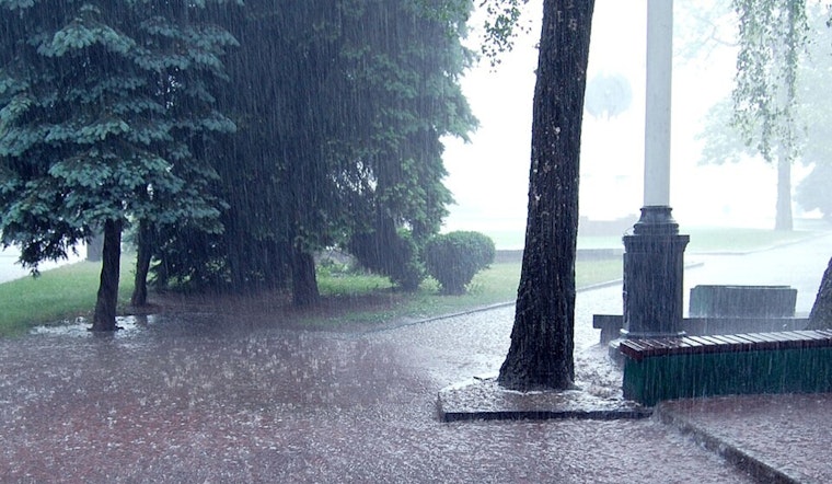
Honolulu residents and visitors can expect moderate to breezy trade winds, with passing showers over windward and mountain areas, as reported by the National Weather Service in Honolulu. These conditions are forecasted to continue in the coming days with the arrival of an old frontal band's remnants later today, potentially boosting cloud coverage and precipitation across the archipelago.
Despite the traditional rain patterns, an unstable low-level cloud band rolling into the islands this afternoon, driven by the persistent trade winds, could possibly elevate shower activity and increase expected rain totals. The NWS predicts, "Fairly significant storm total rainfall amounts in the 0.50 to 1.00 inch range," with mountain areas likely receiving the bulk of this moisture. However, leeward areas should brace for these showers which could contribute beneficial rainfall to regions often thirsting for it.
The unstable conditions spurred by the passing frontal remnants are anticipated to cling to the windward slopes of the Big Island until Sunday, before most islands revert to their usual brief shower episodes. Yet, a looming upper level low by next week Tuesday might briefly spike shower activity across the state, as the NWS suggests an increase in precipitation chances to account for the unstable weather phenomenon.
The aviation outlook remains positively steady in the face of these meteorological changes, with VFR conditions anticipated across most locations in Hawaii. However, the National Weather Service cautions, "Moderate to breezy trade winds will continue for the next several days," and pilots operating over and near the islands should note that AIRMET Tango for moderate low-level turbulence is in effect and is expected to continue in the following days.
Mariners aren't left unadvised either—the Small Craft Advisory (SCA) stands until 6 PM HST tomorrow for several areas, as moderate to locally strong trade winds, fed by a persistent high pressure system, will churn the waters around the islands.
Lastly, while fire weather remains below critical thresholds, humidity levels and winds will edge close to those limits, with the current weather system enhancing moisture and reducing fire risks. The NWS highlights that "Humidity levels and wind speeds will remain just below critical fire weather thresholds this week," hinting at the delicate balance nature holds over the islands' safety and weather patterns.


