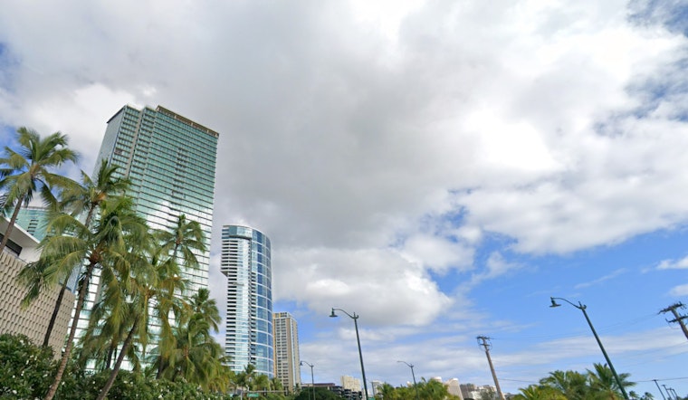
Honolulu's weather is taking a slight turn as trade winds expected to ease off by midweek, as stated by the National Weather Service. Windward areas should prepare for continued showers, while leeward locales, especially on the Big Island, may experience heavier, scattered showers. A surface trough far northeast of the islands is contributing to these conditions as it weakens the ridge north of the state.
Trade winds, currently moderate to brisk, are set to gradually diminish on Tuesday and Wednesday. The wind slowdown is the result of not only the weakening surface ridge but also a front from the North Pacific. Moreover, the formations of surface low pressure about 750 miles northeast of the islands are set to further lessen the local pressure. Amid these shifts, windward areas and the Kona Districts of the Big Island continue to be shower hotspots, where an isolated heavy shower can’t be ruled out.
Going into the latter part of the week, a change in pattern is expected, as the NWS forecasts that trade winds "will become disrupted Thursday into the weekend." This shift will promote a dominance of land and sea breeze patterns over the archipelago, which could initiate afternoon showers in the interior regions. While a substantial moisture influx isn’t projected, weather models suggest an increased chance for shower activity, particularly over the western islands.
In terms of aviation, the changing winds should see a tapering from moderate to more subdued levels over the course of Tuesday and Wednesday. According to the NWS, windward and mauka locations will see the most low clouds and showers. Although marginal visual flight rules could be momentarily affected by showers, general visual flight rules should largely prevail.
For marine interests, the conditions present a mixed scene. While trades blow moderately through Wednesday, the developing northeastern low-pressure system will break down wind speeds, leading to lighter and variable winds from Thursday onward. Surfers can anticipate a measured south swell that ticks up slightly midweek, followed by another long-period swell later in the week, maintaining near-seasonal heights along southern shores. A fresh north swell could also tick up surf along northern and eastern exposures by the end of the week, a product of a nearby trough development.
Fire weather warnings haven't been issued, though conditions are upscaling toward critical thresholds due to the locally breezy trade winds teamed with meager rainfall in leeward areas. An alleviation of wind strength in the following days could ease risks, with the inversion layer settling between 6,000 and 8,000 feet for the day. No particular watches, warnings, or advisories are in effect currently.


