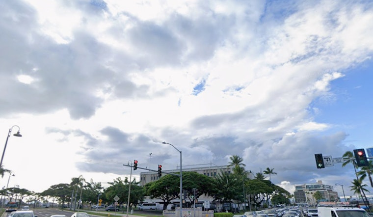
Honolulu residents can expect a mix of sun and showers over the next few days, with a slight uptick in overcast and wet conditions as we roll into November, according to the National Weather Service's Honolulu forecast. Light to locally moderate trade winds will generally prevail until the weekend, when weather patterns are expected to shift due to a developing trough near the Hawaiian Islands. This change could lead to the first cold front of the season hitting the region early next week.
For now, Hawaiians are seeing a "fairly quiet morning with less precipitation than at this time a day ago," with the majority of radar activity being south of Kona and offshore of southeast Big Island, as reported by the NWS. The weather conditions will remain stable for the next few days, with the island of Hawaii predicted to have the highest rainfall accumulation today due to a subtropical jet and a moist air mass from the east creating prime conditions for heavier showers. While there's a possibility for an isolated thunderstorm, the effect on the local climate has been minimal.
As we approach the end of the week, drier air is expected to push through providing mostly agreeable weather, characterized by partially cloudy skies and temperatures that are neither too warm nor too humid. However, the stable weather is not set to last, with a deepening North Central Pacific trough that's likely to introduce cooler temperatures and a chance for showers Sunday and into the next week, raising the possibility of increased rainfall centered along and ahead of the anticipated cold front, particularly affecting areas like Oahu and Kauai.
The aviation outlook for Hawaii suggests moderate trade winds with only a small chance for short-lived moderate-intensity showers possibly impacting visibility—but overall, conditions are suitable for flying. Travelers can expect "VFR should prevail in primarily dry conditions," while some light icing might occur within mid layered clouds through Wednesday, which indicates a small hiccup for aviation but nothing too disruptive, as per a report by the NWS.
Marine life will be affected by these changing conditions too, with moderate to fresh trade winds leading into strong post-frontal northeasterlies potentially warranting a Small Craft Advisory for some regions next week. In the meantime, surfers will see a boost in wave activity, including a moderate NNW swell arriving by the weekend possibly meeting High Surf Advisory criteria on north and west-facing shores, as stated in the Honolulu Weather Forecast.
On the fire weather front, concern is low for the next few days given the relatively high humidity and moderate winds expected to continue. As we move into early next week, however, the predicted wetter weather pattern should further mitigate wildfire risks, allowing for a bit of respite in terms of fire hazards across the islands.


