Jacksonville residents can expect a mixed bag of weather in the coming days, with chances of showers and thunderstorms alongside sunny spells. Starting today, there is a 20 percent chance of showers after 11 am with mostly sunny conditions and a high near 86 degrees. The Northeast wind is set to flow at 5 to 11 mph, potentially reaching gusts as high as 17 mph, as reported by the National Weather Service.
The overnight forecast calls for a slight chance of showers with clouds hanging low and temps bottoming out around 72 degrees. These conditions are expected to persist, unpredictably enough, into the early morning hours with a similar 20 percent chance of precipitation. Winds from the Northeast will keep on to blow at 6 to 8 mph.
Thursday's weather takes a turn, bringing about a higher chance of showers and thunderstorms—60 percent, to be precise. It is predicted to start partly sunny with a high nearing 80 degrees, but the wind will begin, assertively, to pick up. Northeast wind rates from 11 to 16 mph will increase to 17 to 22 mph by afternoon, with gusts possible up to 33 mph. New rainfall could vary but might land between a tenth and a quarter of an inch, save for thunderstorms, which might bring higher totals.
Continuing into Thursday night, showers are likely and may be accompanied by a thunderstorm before 8 pm. Afterwards, a window exists where thunderstorms are possible before the likelihood of rain and thunder returns post 2 am. Nighttime winds will keep on to be forceful, hailing from the Northeast at 17 to 21 mph and gusts could top at about 31 mph. Chances of precipitation will remain steady at 60 percent.
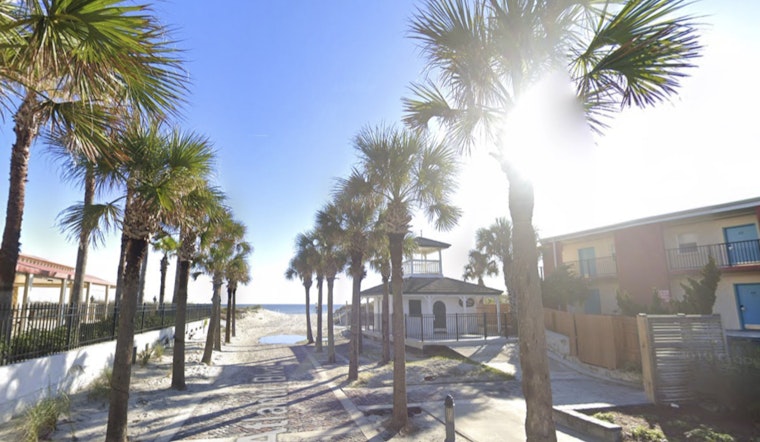
The National Weather Service also issued a Coastal Flood Advisory effective until 8 PM EDT this evening for several areas, including Coastal Duval and Coastal Flagler, warning of possible minor flooding around high tide times. A High Rip Current Risk persists through late tonight as well, signaling that "dangerous rip currents" could cause more perilous conditions along the coast. They advise that flooding could impact parks, lots, and roads with the potential for isolated road closures and urge individuals, if necessary to travel, to take additional time for commutes and to avoid driving through water of uncertain depth or bypassing barricades.
For those considering beach plans, officials stress the significance of swimming near a lifeguard and provide guidance for those caught in a rip current to "relax and float" and not to swim against the current. If possible, swimmers should follow the shoreline and, if unable to escape, should face the shore and signal for help, as per the Rip Current Statement by the NWS.


