Residents in the Las Vegas area should prepare for a shift in weather patterns as the week progresses. According to the National Weather Service in Las Vegas, precipitation chances and gusty winds are expected to return starting Monday, with forecasts indicating that a cool-season Pacific system is approaching the region. This anticipated change in the weather may lead to a dramatic plunge in temperature, with high temperatures expected to fall roughly 7 to 10 degrees from Saturday's highs.
The NWS has issued a Winter Storm Watch for the Eastern Sierra from late Monday afternoon through early Wednesday. Aspendell could get 8–12 inches of snow, with higher elevations seeing 1–2 feet or more near the Sierra crest. Rain is also expected in the Owens Valley and nearby areas starting Tuesday morning.
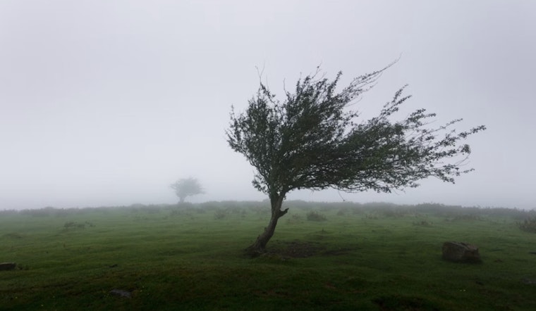
A weather system off the southwest coast of Canada is moving down the West Coast in the next few days. The NWS in Las Vegas warns of gusty southwest winds over 40 mph in parts of the Southern Great Basin on Monday and Tuesday. Rain is also expected to reach the area since conditions favor widespread precipitation.
As the system moves inland, winds will ease, but cold weather will continue. The NWS may issue a Freeze Watch for the Owens Valley by Monday or Tuesday night, with temperatures possibly dropping below 32°F. Airports like Harry Reid are still seeing clear flying conditions, though wind directions and speeds are changing with the cold front.
For more localized updates and to report any significant weather impacts, the NWS encourages spotters to follow their standard operating procedures. Detailed forecasts and further information can be found on the NWS website.


