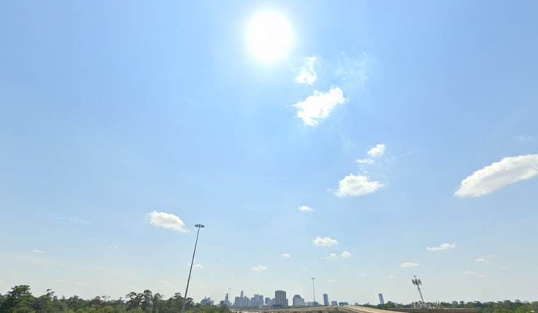
Houston residents are experiencing a mix of weather conditions today, with a predominantly sunny disposition set to shift as the day progresses. The National Weather Service predicts a "high near 90" with a "northeast wind around 10 mph," ensuring a clear and balmy start to the day. As the night encroaches, "mostly clear" skies are expected, alongside a "low around 74" and a gentle northeast breeze.
However, locals on the east side should be prepared for "a chance for a pop-up thunderstorm" between the hours of 7 and 11 tonight, even though the morning coastal showers were scant enough to hardly tip a scale. Meanwhile, those with sensitivity to airborne irritants might find the increased instances of fall allergies, stirred by robust winds, to be of concern, as reported by Click2Houston.
As the week unfolds, Houston is set to see a slight uptick in humidity and rain chances, with the National Weather Service noting a 40% chance of precipitation tomorrow. The rest of the week promises predominantly sunny days, with "high near 91" and minimal chances of rainfall, perhaps offering a reprieve from the heavier downpours expected at the week's start.
In addition to local weather disturbances, attention is being directed towards the tropics, where "a tropical wave near the coast of Africa" is showing signs of activity. The developing system could escalate into a tropical depression near Lesser Antilles come next week, bearing the name "JERRY" should it qualify. Click2Houston underscored the importance of preparedness, urging families to consult the "2025 Hurricane and Flood Survival Guide," an essential resource during the volatile hurricane season.


