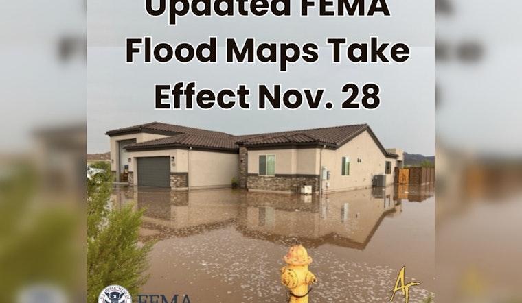
Apache Junction will implement FEMA’s updated Flood Insurance Rate Maps (FIRMs) today. The new maps replace the 2007 version and provide residents with updated information on areas at risk for flooding. The updated maps, which use high-resolution LiDAR data, help determine which properties require flood insurance and which are at lower risk.
Apache Junction is adopting the updated FIRMs to stay compliant with National Flood Insurance Program requirements, ensuring residents remain eligible for federal flood insurance and disaster assistance. Some properties may now be classified within Special Flood Hazard Areas, which could require flood insurance, while the updated regulations aim to reduce future flood damage and improve community safety.
Apache Junction says existing homes are not required to be elevated immediately. However, significant renovations or improvements will need to meet the updated floodplain standards. The changes are designed to protect individual properties while managing overall community flood risk.
Residents can find detailed information on FEMA’s updated maps on the Apache Junction website, including how the changes affect property classifications and flood risk. The updates incorporate a combination of advanced mapping technology and regulatory adjustments.


