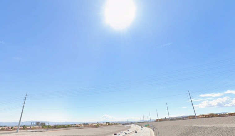
Las Vegas can expect blustery conditions today, courtesy of a weather system sweeping through the region, but it's not all rough winds ahead. The National Weather Service (NWS) Las Vegas has signaled light precipitation heading towards the eastern Sierra. Amidst this, most of the area will still see calm, dry weather with temperatures holding steady above normal seasonal averages, according to the latest forecast discussion from the NWS.
While today's gusts might not disrupt the routine city life across most of the area, certain spots are bracing for windier spells. The Owens Valley has a Wind Advisory in place with chances for 55+ mph winds in the Sierra are high (75%) and chances for 40+ mph gusts in the Owens Valley are more of a toss-up (~50%), as per the NWS statement. Motorists, especially those in high-profile vehicles, should brace for challenging travel conditions on US-395. Another area to watch is near US-95 at Desert Rock/Mercury, where gusts could hit 40+ mph.
Light rain and snow will grace the eastern Sierra with a 20-30% chance predicted, yet higher snow levels above 9,000 feet suggest minimal impacts, ensured by those very odds. In the grander scheme of things, the Las Vegas Valley remains mostly untroubled by precipitation, maintaining below a 10% chance for rain.
As for the temperature outlook, a slight dip is expected tomorrow, after which warmer conditions will persist through the weekend and into next week. The system mentioned earlier will lower temperatures by a few degrees tomorrow, but levels will still remain above normal for November, as stated by the NWS.
Aviation sectors, take note: Harry Reid is expecting winds of 8 KT or less, following diurnal directional patterns that should remain steady until late morning. Some easterly winds are anticipated before a shift to the south and southwest later in the day. The evening forecast calls for sustained winds of 10 to 15 KT, with gusts reaching 20 to 25 KT, as mentioned by the NWS. VFR conditions are expected, with little to no impact on visibility due to mid- to high-level clouds at 15,000–25,000 feet AGL gradually moving in.
Finally, the NWS encourages spotters to report significant weather conditions or impacts as they happen, per standard operating procedure. So, Las Vegas residents and visitors: hold onto your hats, but enjoy the warmer-than-average November days while they last.


