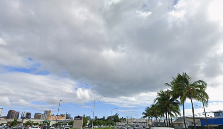
Honolulu faces another round of brisk trade winds and sporadic showers, according to the latest forecast from the National Weather Service (NWS). The established high pressure north of Hawaii is set to continue playing a pivotal role in the region's weather pattern, prompting a Wind Advisory for parts of Maui County and the Big Island, slated to last through this evening. Winds are expected to ease off as the week progresses with a more moderate feel by Friday, as noted by the NWS bulletin.
Current radar and satellite snapshots reveal increased shower activity, especially targeting windward and mauka areas as one expects this time of year. This activity is due to a moist air mass riding in with the trade winds, helping to maintain damp conditions through the week. For those leeward locales, you might catch a few nighttime and early morning showers as they occasionally spill over the mountains. The National Weather Service also hinted at a shift early next week with possible moderation or heavy rainfall on the horizon; however, as different models clash in their predictions, uncertainty remains high for this period.
The aviation industry isn't exempt from the effects of the windy weather either, with continued breezy conditions ushering in periodic MVFR (Marginal Visual Flight Rules) conditions in certain areas. However, general VFR (Visual Flight Rules) states are prevailing otherwise. Turbulent skies will make for choppy flying over and downwind of terrain below 10,000 feet, as per the NWS advisories, including AIRMET Sierra for mountain obscuration and AIRMET Tango addressing both turbulence and the significant winds between Oahu and the Big Island.
Boaters also journeying along the Hawaiian waters will have to brace for local gale-force trade winds thanks to a robust high pressure system to the north-northeast—an area which gradually weakens and drops southeast today, as described in the NWS marine update. A Gale Warning is in place until this evening for the infamous Alenuihaha Channel, where wind speeds are expected to stay elevated. And though some zones might drop out of the Small Craft Advisory as conditions settle, especially near Kauai and Oahu, the High Surf Advisory persists for multiple east-facing shores into the afternoon.
On the land, breezy conditions are set to persist until the afternoon before a moderate breeze takes over ahead of the weekend. Thankfully for the fire-prone areas, increased low-level moisture embedded in the trades should keep relative humidity levels above critical fire weather thresholds. The NWS reports that the inversion layer, particularly affecting Maui and the Big Island, will sit between 9,000 and 10,000 feet today.


