As Cleveland braces for a dynamic weather system moving through the Ohio and Tennessee Valleys, the National Weather Service in Cleveland has detailed what residents can expect over the next few days. Starting today, a cold front will be passing northeast of the area, bringing a potential mix of showers, especially to the northeastern parts of Ohio and northwest Pennsylvania. According to the NWS Cleveland forecast discussion, "There is some low potential for some showers to develop along this feature and have re-introduced some low PoPs for this area this morning."
Following the cold front, a developing low pressure system over the central U.S. is expected to influence weather conditions tonight, although the latest updates suggest a trend southward. The forecast anticipates "a mix of chance to likely PoPs continuing across the area tonight, but the expanse of likely PoPs continues to shrink southeast and total QPF caps to at most one-tenth of an inch of rain." High pressure will then return on Saturday, promising drier conditions and temperatures in the near 50s today, dropping to below normal in the 40s on Saturday behind the low pressure system.
The short-term outlook leading up to Thanksgiving looks relatively calm. High pressure is set to dominate Saturday night, maintaining dry weather with no significant disruptions expected. "High pressure will return on Sunday night into Monday and allow for continued dry weather. Temperatures through the period appear to be near normal," the NWS Cleveland's report stated. This should bring a sense of relief to residents making plans for holiday preparations or travel this weekend.
Looking further ahead into the long term, a notable system is on the weather radar for next week, which could potentially bring widespread rain and usher in colder air post-holiday. The NWS Cleveland mentions, "there is still quite the spread in solutions for this system, which has implications on rain timing and winds for Monday night through Wednesday and any residual rain and snow for Thursday and beyond." The variance in these predictions suggests that it's a scenario to keep an eye on, especially considering the impacts on holiday travel. There will be "higher PoPs during the first half of the period but this will certainly need to be shortened up with time," ensuring that the forecasting models provide a clearer picture as the system draws closer.
Aviation conditions are affected as well, with widespread non-VFR conditions observed this morning across the region. The NWS states, "Visibilities should begin to improve immediately following sunrise, rebounding to VFR by 15Z this morning." Pilots and air travelers should be prepared for potential disruptions, as "rain showers associated with a cold front moving east will skirt the southern portion of the area, likely reducing visibilities and ceilings to IFR/LIFR once again" heading into the weekend. VFR conditions are expected to return on Saturday.
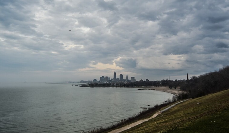
Marine conditions follow the weather's suit, with southwest winds prevailing and a forecasted shift to northwesterly tonight as the front passes east. By Sunday, the increase in gradient might necessitate a Small Craft Advisory on Lake Erie, especially as winds could reach 15-20 knots with waves building around 4 feet in the eastern basin. These conditions should alleviate somewhat as we head into the new week, but another bout of potentially hazardous marine weather is predicted midweek with the arrival of the stronger low pressure system.


.jpg)