The National Weather Service in Cleveland has released a detailed forecast for the coming days, hinting at a somewhat tumultuous transition from a breezy ridge giving way to a trough from the west, with a cold front to follow suit this Wednesday afternoon. Weather aficionados and the public alike can expect a shift in conditions as these systems move across the Ohio region, bringing fluctuating temperatures and various forms of precipitation that could affect travel and outdoor activities. According to the NWS forecast discussion, we're looking at a cold front sweeping through during the day, re-igniting lake effect precipitation across northeastern Ohio and northwestern Pennsylvania.
In terms of the immediate impact, residents and travelers should brace for precipitation that will start off predominantly as snow or graupel before transitioning to rain as temperatures warm into the 40s. However, the lake effect showers might still be intense at times, which could lead to potential visibility issues. "Precipitation across northeastern Ohio and northwestern Pennsylvania could be heavy at times," the discussion outlined, noting the presence of lake-induced CAPE in that area. As the frontal activity wanes Wednesday night into Thursday, drier air and clearer conditions are expected, with a slight warming trend. Although temperature distribution will be uneven, with the western half of the CWA possibly reaching 50 degrees by Thursday, while the eastern half lags slightly behind.
The short-term forecast through Saturday night spells out a rather calm demeanor in the weather patterns—as the ridge continues to build, temperatures will follow an upward trend with most places experiencing a notably dry period. Highs on Friday are expected to meander in the mid to low 50s, with Saturday spiking into the 60s in certain western areas and the mid to upper 50s elsewhere. Nevertheless, the tranquility is forecasted to be interrupted by a low-pressure system and accompanying cold front from Canada, triggering an increase in precipitation chances towards Saturday night.
As Sunday dawns, the cold front moves on, taking most of the rain chances with it, albeit the usual suspects, northeastern Ohio and northwestern Pennsylvania, may still encounter lake effect showers—and even some rain/snow mixtures into Sunday night and early Monday. The forecast for early next week, while remaining a bit of a question mark, tentatively suggests the return of high pressure and a dip in temperatures back to normal, or even below. "Temperatures will fall back to around normal on Sunday behind the cold front with highs in the low 50s and overnight lows in the low 30s," the NWS in Cleveland reported.
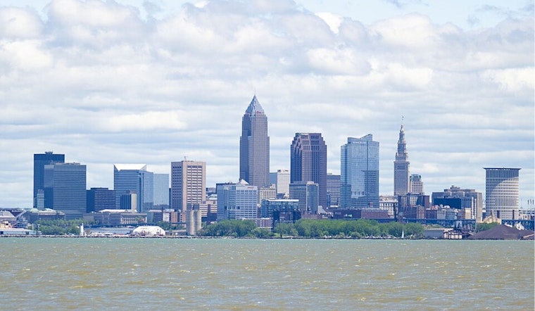
For anyone with interests on Lake Erie, advisories have also been adjusted in line with the dynamic weather situation. The initial Gale Warning has been dialed down to a Small Craft Advisory, still signaling caution for mariners due to winds that could whip up to 25-35 knots and waves cresting at significant heights. It's a wind-watchers kind of week, with gusts evolving from southwest to westerly flows, then shifting northwesterly post-frontal passage. By the end of the week, the chop on the lake is expected to settle down, creating more favorable conditions for boating and fishing activities before another round of blustery weather is projected for Sunday.


