The National Weather Service in Denver is alerting residents to potentially hazardous weather conditions expected to roll into the region. According to the National Weather Service, strong winds are forecasted to develop in the vicinity of the Front Range Mountains and Foothills late into the night. Wind gusts could reach highs of 55-65 mph, with the possibility of localized gusts hitting up to 75 mph, particularly near Boulder County foothills.
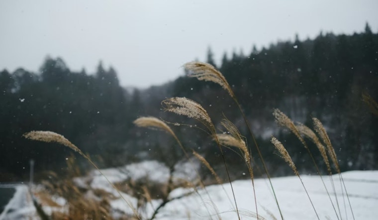
A shift in the weather will bring snow into the mountains by the evening, primarily affecting areas north of the I-70 Mountain Corridor and Summit County overnight. As temperatures drop, road conditions are expected to quickly deteriorate, becoming slick and perilous. Travel will become slick and hazardous in the mountains later this evening as temperatures fall and roads become snow-covered, says the NWS forecast. At the same time, the plains might see isolated to scattered light showers, with a higher likelihood closer to the Wyoming border.
The upcoming week promises to continue the snowy trend, with the NWS predicting snow and blowing snow mainly over the mountains north of I-70 and in Summit County on Monday. According to the hazardous weather outlook, accumulations could range between 4 to 10 inches in these mountainous areas. Storm total accumulations by the time snow winds down late Monday will be 4 to 10 inches in the mountains from Rabbit Ears Pass northward. The wintry conditions are further complemented by strong gusts that are forecast to weaken by Monday afternoon and evening.
Denver residents should brace for a drop in temperature early next week that is expected to hover near or below normal levels. Additionally, there's a chance of further rain and snow from Thursday into Friday. There will be another chance of rain and snow Thursday into Friday, but considerable uncertainty exists regarding the track and intensity of this potential storm system, warns the NWS. It seems Denver is set to hunker down for a spell of inclement weather, with the NWS encouraging individuals to stay informed on the developing conditions.
While spotter activation will not be required, the NWS appreciates any reports from spotters regarding high winds or accumulating snow in the mountain areas. Spotter activation will not be needed. However, any reports of high wind or accumulating snow in the mountains will be appreciated, indicates the hazardous weather outlook. Denverites and visitors to the mountain regions should keep an eye out for further updates and travel advisories as the situation progresses.


