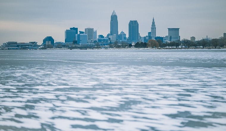
Cleveland, Ohio, is currently under a blanket - not of cozy, warming fibers, but of dense, frost-laden snow. The National Weather Service in Cleveland issued reports indicating the persistence of a low pressure over the northern Great Lakes region, which is keeping a surface trough in place through Friday. This meteorological phenomenon has set the stage for a particularly robust lake effect snow event for Northeast Ohio and Northwest Pennsylvania's snowbelt regions.
According to the NWS, the snow has already started falling across Lake Erie, and by early morning, it's expected to push inland, leading to heavy accumulations. In some areas south of I-90, in Lake County, eastern Cuyahoga County, and northern Geauga County, snowfall totals have had their expectations ramped up to 12-15 inches, with the possibility of locally higher amounts. With snowfall rates of 1-2 inches per hour in the heaviest bands, the NWS warns against hazardous travel conditions, especially during holiday travel. As the snow falls, winds gusting from 45 to 50 mph could lead to blowing snow and reduced visibility, creating dangers for any motorists brave enough, or perhaps more aptly, unprepared, to take on the roads.
Outside of the snowbelt, areas are likely to stay mostly dry, though occasional snow showers could drift in from Lake Michigan, potentially causing scattered snow showers across northwest Ohio and the central highlands. Meanwhile, temperatures across the Cleveland area are dropping significantly. Highs will only hit the low to mid-30s, with overnight lows expected to dip into the low to mid-20s. Wind chills will make it feel even colder, dropping into the low 20s by day and low to mid-teens at night.
The weather is not expected to let up as the weekend approaches. A brief reprieve on Saturday with high pressure will be quickly followed by another system moving northeast, which, expected to bring more accumulating snow to the region. However, the Toledo Metro area stands apart, with up to 4 inches of anticipated snowfall, a little more than elsewhere. While temperatures on Sunday might climb high enough for a transition from snow to rain, there's a small chance of isolated pockets of freezing rain or sleet, particularly in the Mahoning Valley.
It's a rough outlook for Lake Erie mariners, too, with gales shifting from the southwest to westerly along the lake. Gale warnings and advisories are in place, and conditions are expected to measure at 30-40 knots with waves reaching 12-16 feet at the eastern end. In the face of these strong winds, low water advisories are also in effect for the western basin due to water levels plummeting nearly two feet below low water datum.
For those keeping an eye on the long term, this active weather pattern isn't ready to bid adieu just yet. The week might close out with additional snow showers and yet another wave of lake effect snow possible as New England draws another low-pressure system close to its bosom. Pale and chill, winter asserts its hold on Cleveland, with temperatures remaining steadfastly in the low to mid-30s through midweek.
For more detailed weather updates and advisories, visit the National Weather Service.


.jpg)