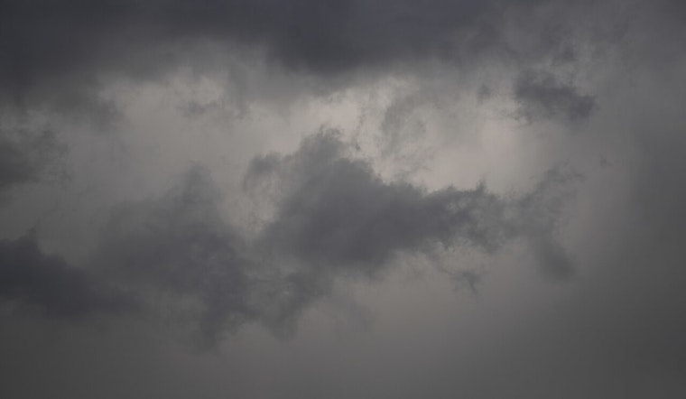
The National Weather Service in Honolulu has issued a forecast, indicating a moderate trade wind flow for today, with showers expected to favor windward slopes; leeward areas may remain relatively dry, except for possible spotty afternoon showers along the Kona slopes of the Big Island. According to the NWS advisory, as the area of low pressure west of Kauai drifts further away, the weather is set to become more stable throughout the day.
Looking ahead, trade winds are predicted to weaken starting Thursday, and an upper-level disturbance passing by on Friday could lead to isolated afternoon showers. Despite an anticipated lack of significant moisture in the air, this could cause sea breezes and scattered showers. The high clouds mentioned earlier will continue to move in from the southwest, extending over parts of the island chain. The current high-pressure system, anchored north of the state, is causing the moderate trade winds we're feeling now, and these conditions are expected to persist for the next couple of days.
Aviators can expect largely favorable conditions with the moderate trades and no AIRMETs currently in effect. Visibility remains good for the most part, save for the chance of brief MVFR conditions in areas near PHTO on the Big Island due to isolated showers. Marine conditions through tomorrow are forecasted to see locally strong winds, before experiencing a decline in intensity as we move through Thursday and approach the weekend.
Surf’s up, as a north-northwest swell is projected to bring advisories for the north and west, with peak heights expected by tomorrow evening. Those looking to catch waves should note that advisory-level surf is likely to persist into Thursday before gradually receding. Another north-northwest swell could help maintain moderate conditions by Friday. Looking farther into the weekend, surfers and mariners should be aware that a larger northeasterly swell is on the horizon for Sunday, with advisory-level surf expected on the east shores as well. South shores, however, should see smaller waves throughout this period.
Finally, the NWS has not issued any watches, warnings, or advisories at this time, but residents and visitors to the Hawaiian Islands should stay informed on the latest weather developments.


