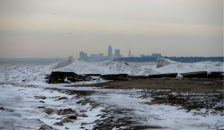
Winter has made an assertive entrance in parts of the Midwest, delivering a harsh serving of lake-effect snow to Northwestern Pennsylvania while Cleveland experiences a cold snap, according to the National Weather Service Cleveland. Winter Weather Advisories were issued for Erie and Crawford Counties in Pennsylvania as snow accumulation continued. As of this morning, reports indicated most areas were seeing less than an inch of snow, although the weather pattern was projected to intensify with potential rates of snowfall reaching half an inch to three-quarters of an inch per hour in certain areas. The National Weather Service stated that the lake-effect snow showers were mainly a result of "a cold, cyclonic NW flow beneath a deep negatively tilted mid/upper trough."
While Pennsylvania dealt with the brunt of the snow showers, areas in Northeast Ohio, like Lake, Geauga, and Ashtabula Counties, while seeing occasional flurries, expected minimal accumulation due to drier air and limited lake fetch. Any accumulations here were anticipated to be a "trace to few tenths at most," per NWS. In terms of temperature, a marked gradient was forecasted, with highs in the mid to upper 30s for far NE Ohio and NW PA, yet reaching mid to upper 40s in NW Ohio despite the advancing weather front, which would bring mixed precipitation across the Ohio Valley by Tuesday. A patchwork of rain, snow, and possibly sleet, though with little accumulation expected for the onset of the week.
Looking forward, the National Weather Service also forecasted a transient high-pressure system moving across the Great Lakes by midweek, imparting a brief respite with dry and seasonable weather on Wednesday, the anticipated highs hovering in the mid to upper 40s. Nonetheless, this interlude is predicted to be short-lived as the forecast points to another system from the Mississippi Valley potentially bringing increased rain by Thursday night, during which there has been a mention of rising temperatures, with Thursday's highs possibly warming into the low to mid-50s, indicative of the ever-mercurial Midwestern autumn weather.
The long-term outlook keeps forecasters on their toes with the weekend's weather remaining uncertain, the region expecting yet another fast-moving system possibly affecting conditions from Friday night into Saturday, though details rely heavily on potential phasing events between jet streams, Sunday appears to have the best shot at dry weather, the high temps should stay mild in the wake of these systems, projecting mid to upper 50s for Friday and maintaining a range of upper 40s to low 50s for the remainder of the weekend, seasons change, heartland weather remains as unpredictable as ever.
Marine conditions were also impacted by the weather, with the National Weather Service issuing Small Craft Advisories from the Islands to Avon Point, OH, until 4 PM EST Monday and extending the advisory to Ripley, NY until 10 PM EST. Winds were northwest ranging from 15 to 25 knots, which were expected to ease overnight, in aviation, it was noted that a band of lake-effect snow showers could affect KERI airport throughout the morning with potential of MVFR or even brief IFR conditions, most other terminals were forecasted to maintain VFR until Tuesday morning when further precipitation associated with incoming low pressure may change those conditions.


