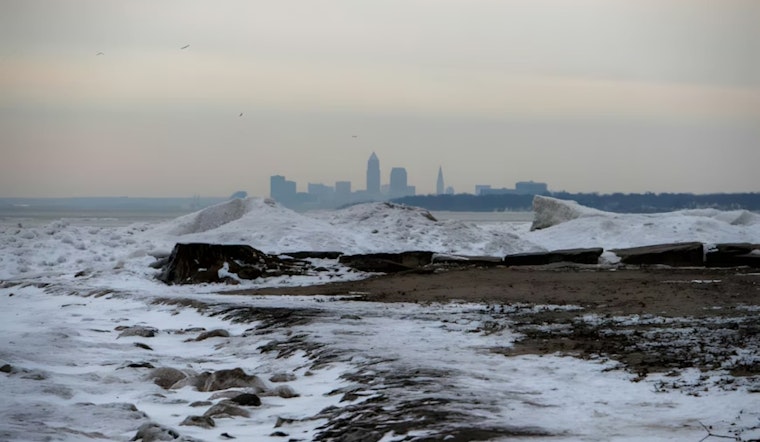
The recent weather patterns in Cleveland have been grabbing headlines as the city faces a mix of diminishing lake effect snowfall and warnings of a forthcoming system that could layer the region with more wintery precipitation. As locals bundle up against the chill, the National Weather Service in Cleveland has been keeping a close eye on the evolving conditions. The NWS has indicated that while snowfall rates have dropped off in Lorain and Lake counties, certain areas continue to cope with slick conditions due to persistent light snow. Lake effect snow warnings have been tuned down to advisories as the weather has shown signs of easing up. According to the National Weather Service in Cleveland Area Forecast Discussion.
As winds veer northwesterly, diminishing lake effect snow is expected to shuffle inland throughout the morning. Urging caution in Lorain County, the Winter Weather Advisory was canceled, recognizing that the main threat would be reduced to "lingering slick spots," as stated in the NWS update. Over in Lake County, which missed out on the bulk of the snowfall, residents faced a downgrade from a Lake Effect Snow Warning to a Winter Weather Advisory. The forecast adds that additional accumulations from ongoing snowbands could stack up to 7 inches in some locales, particularly in areas of higher terrain in eastern Cuyahoga, Geauga, and Erie/Crawford counties.
Moving towards the weekend, the NWS forecasts a brief period of tranquility with high pressure briefly taking charge before the next system rides in from the Midwest. This new system is anticipated to usher in both rain and snow starting late Saturday afternoon, potentially causing travel hiccups and leading to accumulations that could trigger advisory-level snowfall in parts of the region. Going into early next week, Clevelanders might see a respite in the snowy barrage as high pressure once more steps into the fray.
In marine-related stipulations, while a Gale Warning on the choppy waters of eastern Lake Erie had been in effect, it has since transitioned to less severe Small Craft Advisories that extend into the evening hours. Those navigating or residing by the lake remain advised by NWS meteorologists to stay vigilant with the possibility of gale force winds on Sunday when a cold front sweeps through. Moreover, "improving conditions" were expected with the arrival of high pressure by Sunday night, ushering in a calmer marine environment following tumultuous days.


