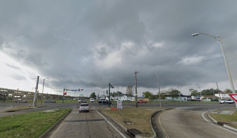
New Orleans residents can expect a mixed bag of weather conditions in the coming days, including showers, thunderstorms, patchy fog, and sunny skies. While today brings a 50% chance of precipitation before 5 pm, the clouds are predicted to give way to sun with highs nearing 82 degrees. The South wind, blowing at a gentle 5 to 10 mph, should offer a slight reprieve from the humidity that sits heavily at 84%, as forecasted by the National Weather Service.
Tonight, the city will see patchy dense fog after 1 am, making for some potential late-night driving hazards, but conditions will clear up leading into a mostly sunny Saturday with high temperatures around 81 degrees. According to the NWS forecast, the calm nights will persist into the early part of the week with lows in the mid-60s, and the daily rhythm of fog lifting to sunny skies will continue through to Monday.
Starting Monday night, the chance of showers increases to 40 percent, mainly after midnight, setting a showery precedent that hints at a slightly wetter Thanksgiving ahead. The daytime on Tuesday offers a high around 80 degrees with a continuing opportunity for showers, as the South wind maintains its 5 to 10 mph pace.
Leading into midweek, New Orleanians should anticipate more showers and thunderstorms on Wednesday with mostly cloudy skies and highs dropping to a cooler 74 degrees. Wednesday night, however, will see a tailing off of showers and a sharp drop in temperature, falling to a chilly low around 49. Gusts could pick up to 25 mph, adding a briskness to the air that may require residents to reach for heavier jackets. Thanksgiving itself promises a departure from the dampness and dreariness of midweek. Revelers can look forward to a mostly sunny day with a high near 61, although North wind gusts, as high as 20 mph, might put a bit of a bite into the holiday atmosphere, as per the NWS forecast.


