Honolulu residents can expect stable weather through Tuesday, as a high-pressure ridge keeps skies mostly clear. A weak cold front northwest of Kauai is unlikely to bring significant rain, and satellite imagery shows minimal cloud development.
A temperature inversion between 5,000 and 6,500 feet is keeping cloud growth and rainfall minimal. Trade winds are expected to pick up Thursday, bringing intermittent showers to windward and mountain areas, mainly at night and in the early morning.
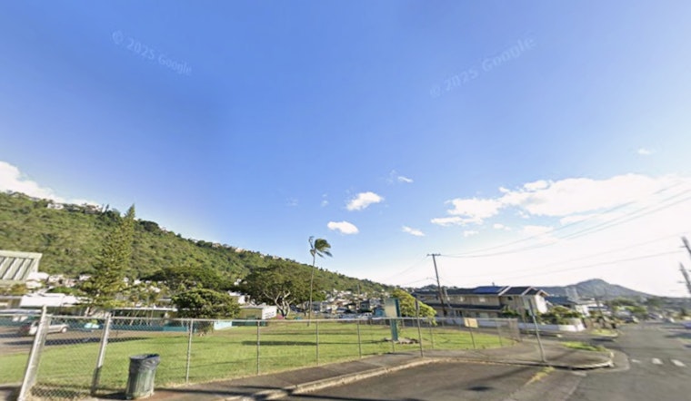
VFR conditions are expected to continue across Hawaii, with no flight advisories currently in effect. Light winds from sea and land breezes should persist through Monday.
Small Craft Advisories remain in effect through noon Monday for marine zones with exposed waters, where combined seas exceed 10 feet. Another strong northwest swell is expected midweek, which could trigger additional advisories.
Fire risk remains low across Hawaii due to stable conditions and light, variable winds. A temperature inversion is limiting dry air buildup at higher elevations on the Big Island and Maui.
Warnings have been issued, including a High Surf Warning until noon HST Monday for various regions, as well as Small Craft Advisories for waters where conditions may turn treacherous due to the swelling seas. For the most current weather updates and detailed advisories, visit the National Weather Service Honolulu website.


