Holiday travelers to or passing through Las Vegas should prepare for potential delays, as the National Weather Service forecasts “widespread rainfall with isolated flash flooding,” particularly impacting travel on Wednesday as rain moves across the Las Vegas Valley. The heaviest rainfall is expected west of Las Vegas before moving east through the afternoon and evening, potentially slowing both road and air travel, according to the National Weather Service.
In the Sierra, White, and Spring Mountains, winter conditions will intensify, with "several feet of new accumulation in the highest elevations by the end of the week." Travel may become even more hazardous as "gusty winds will develop especially across the Southern Great Basin," prompting wind advisories and compounding weather-related disruptions, as mentioned by the National Weather Service.
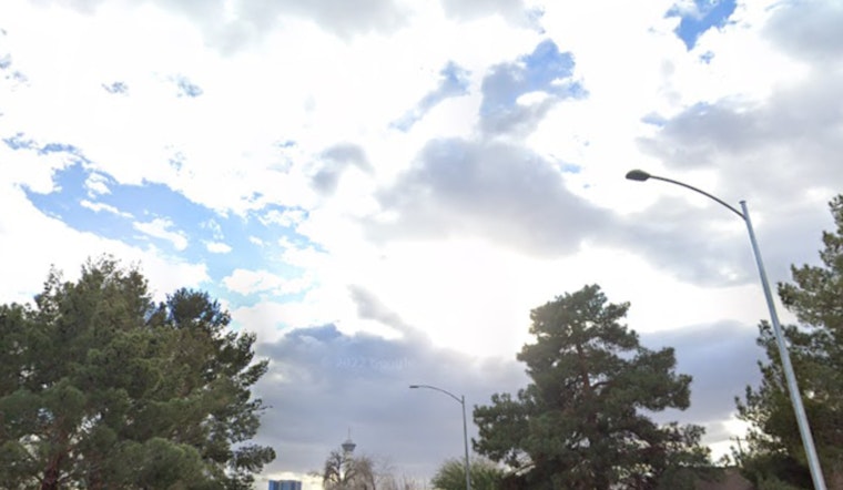
Weather conditions may affect aviation and travel in the Las Vegas region as moisture moves into the area, bringing variable winds and increased cloud cover at Harry Reid International Airport. The National Weather Service reports that “Widespread showers will impact the region on Wednesday, spreading from west to east,” with low ceilings and light rainfall developing as a “plume of moisture” extends from southeastern California into the Mohave Desert and western Arizona, and has asked local spotters to report “any significant weather or impacts according to standard operating procedures,” as rain in the valleys and snow in the mountains continue through the week.


