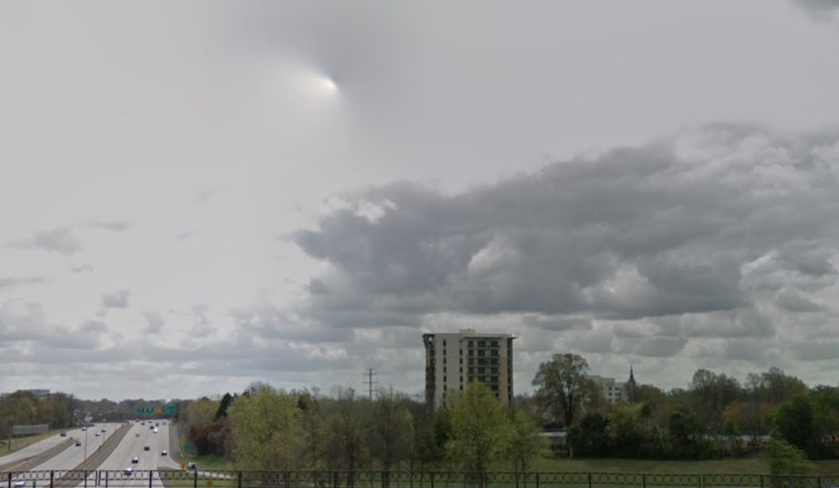
The National Weather Service in Charlotte, NC, reports light rain and foggy conditions in the area, with a current temperature of 43 degrees Fahrenheit and humidity at a high 89%. According to a detailed forecast by NWS, rain is expected to continue mainly before 9 a.m. today, coupled with patchy fog that may persist throughout the morning. Locals are looking at a high near 42 degrees with an east northeast wind traveling at about 6 mph.
Tonight, visibility stands modest at two miles and patchy fog is expected to settle in after 10 p.m., obscuring the view further. Though the winds are calm, the barometer reads a stable 30.09 in, suggesting mild atmospheric pressure. Commuters should be aware of potential slick roads and reduced visibility during their morning drives as the dew point hovers at a chilly 40 degrees Fahrenheit.
As we head into the weekend, Saturday's forecast maintains areas of fog before 9 a.m., thereafter presenting a cloudy but dry day with a high nearing 48 degrees and calm winds transitioning to a gentle west southwest breeze. Cloud cover continues into Saturday night, with anticipated lows around 34 degrees, making for cool but consistent weather patterns for anyone with evening plans.
Looking ahead to Sunday, partial sunshine is expected to break through the clouds, with temperatures perfectly poised at 50 degrees. A serene calm wind will shift to a southeast direction, capping at a mild 5 mph. However, Sunday night carries a slight 20 percent chance of rain after 1 a.m., introducing a semblance of unpredictability to a mostly cloudy evening and lows once again around 35 degrees.
For those planning their week ahead, Monday starts off mostly sunny with a high near 45 degrees. The nights will get significantly chillier leading into Tuesday, with forecasters predicting lows reaching down to 25 degrees. Yet, the sun will return by midweek, and temperatures will gradually climb, reaching up to 55 degrees by Wednesday afternoon, promising a warmer trend in the days following.


