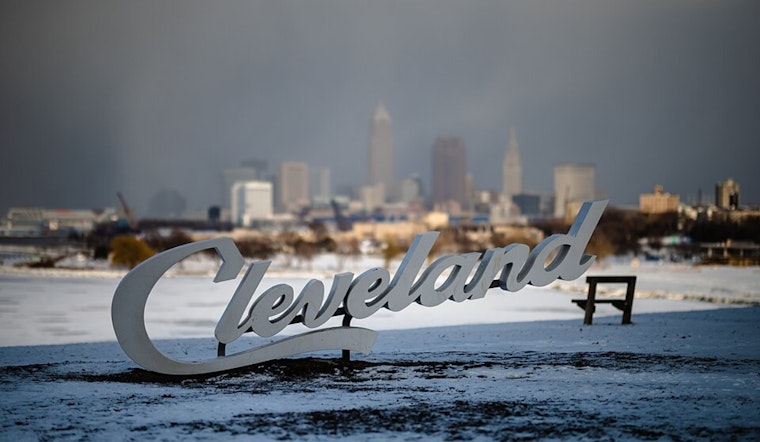
Residents in the lower Great Lakes region, particularly in Cleveland, are bracing for a blast of harsh winter weather as a powerful cold front moves into the area. According to the National Weather Service Cleveland, gusty winds and a sharp drop in temperature will strike the area tonight, leading to a day that's anything but mild. The cold snap will be fast but intense, ushering in a very raw and chilly end to the week.
What makes this incoming weather event notable is the associated strong winds that are expected to buffet the area. The weather service is particularly concerned about northern Erie County, PA, where down-sloping winds could enhance wind speeds to 40 knots or greater through this evening. Another cold front is forecast to make its way through on Saturday night, but a milder respite is expected next week. While the low-level jet peaks at an impressive 75 knots this afternoon, the vertical profiles suggest that strong low level winds won't efficiently mix down to the surface due to an isothermal to inversion-oriented thermal structure, according to the forecast discussion.
A drastic shift in wind and the start of cold air advection in the wake of the cold front. For anyone venturing outside on Friday, expect to be met with temperatures rapidly falling into the 20s, wind chills sinking to the single digits, and potential flash freezing conditions, especially across the western half of the CWA, where the mercury will drop below freezing before dawn. Though a rumble of thunder is not fully ruled out in this scenario, it's not the main concern. Rather, the precipitous drop in temperatures and the high winds pose a significant threat – creating what the NWS terms a "very raw day" tomorrow.
In terms of precipitation, rain will swiftly change to snow, leaving only a crust of snow or ice in its wake. Lake effect snow is also on the cards, particularly Friday afternoon through late evening, affecting mainly far NE OH and NW PA with possible accumulations of 1-4 inches. As the lake effect snow potentially takes hold, "conditions should vary between MVFR and LIFR," particularly impacting areas like Erie, PA, according to NWS. Despite the drastic air mass changes in the near term, the synoptic scale pattern is expected to be progressive and fast-moving, which could lead to a warming trend into the weekend and drier weather by the end of the month.
On the waters, Lake Erie mariners can expect equally challenging conditions with the issuance of a Small Craft Advisory and a Gale Warning for parts of the lake. As for air travel, the periods of lake-effect snow mean possible non-VFR conditions in NE OH and NW PA from Friday through Friday night. All in all, whether by land, lake, or air, it's going to be a treacherous end to the week in Cleveland and the surrounding areas.


.jpg)