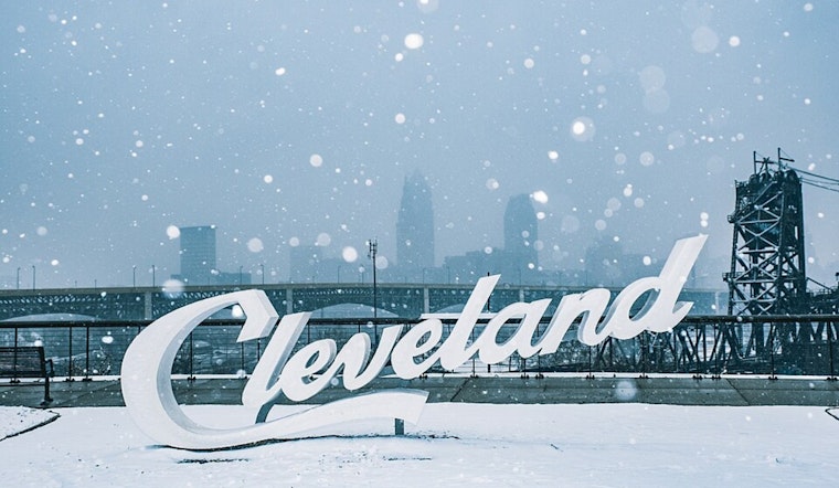
Cleveland residents, brace for some chilly transformation as winter nudges itself further into the spotlight. The National Weather Service in Cleveland reports that high pressure will lead to a calm charge today, yielding to a low pressure system creeping up from the Gulf Coast that's set to swing a surface trough into the Ohio Valley come Monday night to early Tuesday. The atmospheric dynamic duo of high pressure and an upcoming cold front is expected to set the stage for contrasting weather patterns through Thursday.
Apart from some lingering clouds and depreciating snow showers over Erie County, PA, this morning—fit to expire with the Winter Weather Advisory at 7 AM—Cleveland's weather is tracking towards more tranquility with high clouds dispersing the area. However, turning our attention to the lurking troublemaker in the Plains today, that low pressure system is expected to give its best snowy performance, trekking northeast toward the Mid-Atlantic through Tuesday. While dry air is putting up a good fight this afternoon, the NWS anticipates that it will cede ground to precipitation tonight with "favorable isentropic ascent" translating to light snow developing after 2 a.m. ET tonight, as mentioned by the NWS Cleveland forecast. By early Tuesday morning, areas like Mount Vernon to Akron to Meadville might see 3-6 inches of snow, while surrounding zones could get an inch or three.
As Tuesday unfolds, weather eyes will be peeled to see whether that dry slot could outpace predictions, pivoting us quickly from snow to a just a nippy memory. Later in the day, questions of lake effect snow and minor accumulations hang in the cold air, especially for those navigating the snowbelt region through till 7 PM on Tuesday. Overnight Tuesday, any vestiges of flurries should peter out, says the NWS, giving way to high pressure's calming influence with a side of partly cloudy skies and warmer southwesterly flows on Wednesday.
Later this week, yet another upper-level trough will grace the Great Lakes with its presence, nudging a cold front across the region and stirring up some lake effect snow showers Wednesday night into Thursday morning. While the cold front itself is expected to bear just a half inch of snow or so, the snowbelt could see a couple of inches. Thursday's forecast promises a day where warm coats will earn their keep, with "wind chills in the teens," a shift caught by morning-bound commuters as documented in the Cleveland NWS update. Thursday's evening tuck-in comes courtesy of the year's coldest temperatures yet—forecasted lows of 5-10 degrees, except slightly higher along Lake Erie's more temperate shores.
Looking forward to the weekend, the forecast reads like a broken record of cool, below-normal temps. With the models at sixes and sevens over the specifics on incoming energy waves, what's clearer is the NWS's prediction of a southern storm track that could lead to a dusting of additional snow showers.


.jpg)