The National Weather Service in Morristown has issued a Cold Weather Advisory for parts of Tennessee, North Carolina, and Virginia. Effective from 5 PM today to 10 AM EST tomorrow, residents of the aforementioned regions are expected to face very cold wind chills dipping as low as zero, according to the NWS advisory.
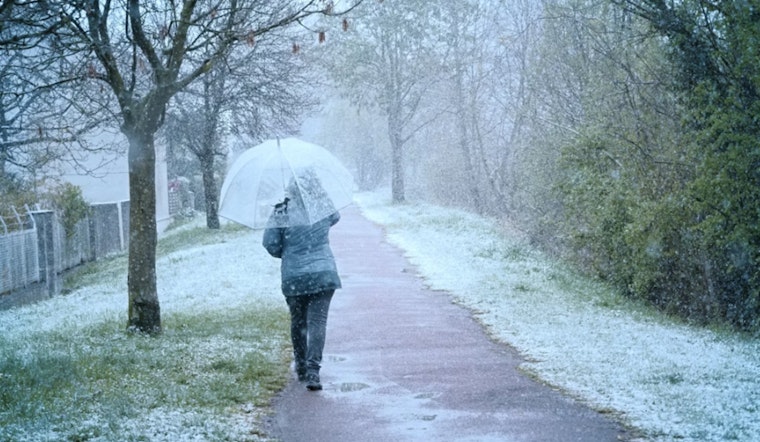
With temperatures to drastically drop following an arctic-like cold front, locals have been advised to take extra precautions against the risk of hypothermia. The NWS stressed the importance of wearing proper attire which includes 'appropriate clothing, a hat, and gloves' to stave off the chill. Alongside the advisory, the NWS also highlighted a slight chance of snow showers and flurries earlier in the day, with conditions slated to improve towards gradual clearing later.
As the region braces for this frigid air, the forecast doesn't expect relief until the afternoon hours of Monday when sunny skies return with a high near 38 degrees. The calm before another likely round of showers scheduled for Thursday is additionally noted by the NWS, with temperatures set to peak near 60 degrees before another downturn is experienced.
In terms of precipitation, the outlook is variable, with snow accumulation up to an inch likely in the mountain areas, and isolated peaks might even see a little more. Spotters, however, have not been activated at this time. The cold front is described as bringing potentially hazardous conditions, and the public has been urged to follow local updates closely. The NWS cautions that the cold wind chills as low as zero could result in hypothermia if precautions are not taken.


