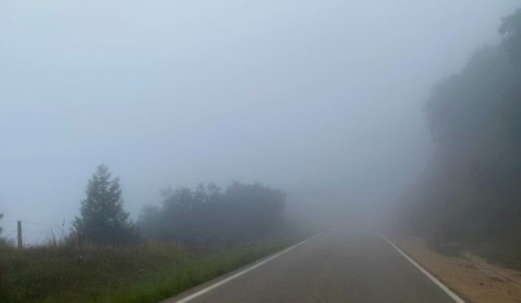
The National Weather Service in Knoxville issued an update early this morning, detailing a mix of fog, showers, and the possibility of sleet and snow in higher elevations. The current foggy conditions come with a 100% humidity level and the dewpoint resting at a damp 41°F. Visibility is reduced to a mere 4 miles, and Knoxville residents are waking to calm winds and barometric pressure of 29.90 inches, as reported by the National Weather Service.
Looking forward through the day, a series of showers is expected to taper off by noon, followed by a patchy fog blanketing the area between 8 am and 10 am. Despite the early disturbances, highs are forecasted to hover near 46°F. Light winds initially from the southwest will turn north later in the morning. According to the NWS, the chance of continued precipitation stands at 70%, with new rainfall amounts between a tenth and a quarter of an inch possible.
As the week progresses, Wednesday offers a break from the wet conditions, with a mostly sunny day and calm winds leading to a high close to 47°F. The pattern of clear skies will be briefly interrupted on Thursday night, with a 30% chance of showers after 1 am. Looking ahead to the weekend, the weather oscillates, with chances of showers and mostly cloudy skies, leading into a partly sunny Sunday with a 20% chance of rain.
In a separate statement, the National Weather Service released its Hazardous Weather Outlook early this morning for the wider region encompassing southwest North Carolina, east Tennessee, and southwest Virginia. In the overnight hours, a Wind Advisory was in place for the east Tennessee mountains and foothills, cautioning of possible gusts up to 50 mph. Furthermore, sleet and snow were predicted for certain areas, but with "little to no accumulation expected and no impacts," thus lessening any immediate concerns for the communities bracing for colder weather.
The outlook for next Monday suggests a low probability for widespread hazardous weather. The NWS Hazardous Weather Outlook further clarified, "Spotter activation is not needed at this time," indicating a relatively stable situation following the brisk, yet hardly severe, conditions noted to commence the week.


