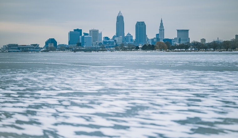
The weather forecast for the Lake Erie region is nothing short of a rollercoaster ride, with a mixture of high pressure, warm fronts, and a cold snap to top it off. According to the National Weather Service Cleveland OH, Ohio, is currently sitting on the eastward moving valley of high pressure. The area is due for a warm-up, with a warm front set to move through the region tonight, chased by a cold front on Tuesday, setting the stage for milder temps throughout the week.
The warm advection is a contributing factor to the anticipated milder pattern, although it'll make precipitation types slightly challenging to predict. We can expect the leading edge of precipitation to be light snow, with the risk of a brief stint of freezing rain across eastern Erie and Crawford counties in Pennsylvania. As the surface temperatures catch up with the temperatures off the deck, areas further west should prepare for a transition from light snow to light rain. "Precipitation chances end with a cold front coming through on Tuesday, but temperatures prior to passage will push into the lower 40s east and near 50F for the southwestern zones," a report by the NWS outlines.
As we move into the short term of Tuesday through Thursday, we're looking at the influence of high pressure returning Tuesday night into Wednesday. Warm air advection isentropic lift light rain is on the docket for Wednesday night into Thursday. This dance between a warm front and an oncoming cold front means we'll experience a brief dip in temperatures on Wednesday, followed by a surge on Thursday, with expectations of widespread 50s, except for far Northeast Ohio and Northwest Pennsylvania.
The long-term forecast, ranging from Thursday night through Sunday, holds its own set of twists and turns. Lake Erie's temperatures are poised to hit the 50s and potentially the 60s in southwestern zones by Friday. However, a strengthening cold front is expected to bulldoze through by late weekend, dragging an airmass change that'll see us back below the freezing point come Sunday into Monday.
For the maritime community, the outlook spells a consistent southwesterly flow through Tuesday, with lake winds remaining between 10-15 knots and potentially exceeding 20 knots at times on Tuesday. "Winds turn northwesterly Tuesday night into Wednesday while decreasing to 15 knots or less as high pressure builds overhead," the NWS marine report indicates. A weak low approaching on Friday may see southwesterly winds cranking up to 20 knots. With no current watches, warnings, or advisories in effect, it seems mariners have a relatively clear albeit breezy path ahead.


.jpg)