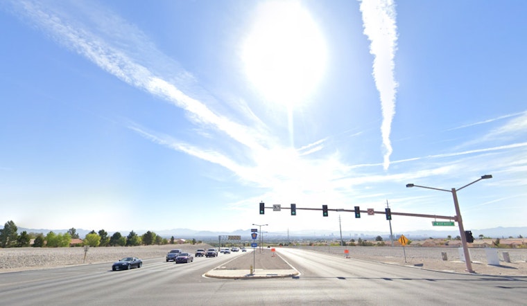
The National Weather Service has released a forecast that sees Las Vegas and its surrounding areas bracing for cooler temperatures and gusty winds this week. According to the NWS, a northwest flow above will sustain north winds, with most areas seeing speeds ranging from 10 to 20 mph. However, the lower Colorado River Valley is in for stronger gusts between 25 and 35 mph, potentially sending wave heights over 2 feet on Lake Mohave. These conditions are prominent today through Sunday.
Notably, decreasing wind speeds and clearing skies will allow for desert valleys to cool off tonight until tomorrow morning, which is expected to land the lower elevations of eastern Inyo County, northeastern Clark County, and central and southern Mohave County their first freeze of the season. Hence, Freeze Warnings are currently in effect for these areas. Furthermore, a shortwave will sweep through Wednesday, upping cloud cover and relative humidity across the region, once again firing up the north winds to 15-25 mph post midweek.
In terms of aviation, Harry Reid International Airport sees northeasterly winds this morning that will back to the north. Varying wind speeds are forecasted, with a decrease in afternoon gusts leading to more predictable patterns in the evening. Flight conditions look to remain VFR with strata of high clouds at around 20,000 feet. Similar conditions hold for the rest of southern Nevada, northwest Arizona, and southeast California, with the stronger winds confined mostly to the Lower Colorado River Valley until sunset.
Local spotters are also on standby. The National Weather Service advises that spotters are encouraged to report any significant weather or impacts according to standard operating procedures.


