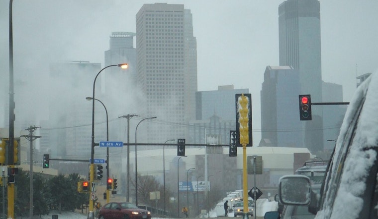
Minneapolis and its surrounding regions are facing a significant challenge as a powerful winter storm moves through, with the National Weather Service in Twin Cities/Chanhassen issuing a series of alerts, including a Winter Storm Warning, indicating the severity of the weather phenomenon expected to impact the area well into Monday morning, as detailed on their website. The forecast for Minneapolis today indicates a high likelihood of rain turning into heavy snow, with temperatures falling and strong winds escalating up to 40 mph gusts; by tonight, additional snowfall is anticipated, reaching possibly over a foot in accumulation with similar wind conditions making for hazardous travel, per the forecast.
The effects are predicted to persist throughout Monday, with the weather service advising against unnecessary travel due to treacherous conditions resulting from the combination of snow accumulations and gusty winds, which may reduce visibility and dislodge tree branches, as stated on their alert page. Following the storm, the week's outlook remains unsettled, with Tuesday bearing a slight chance of additional snow before noon and a moderate risk of snowfall returning on Wednesday; this pattern of snow chances and cold temperatures appears to continue up to the upcoming weekend, offering the region little respite from the wintery conditions.
Not just snowfall, but accompanying strong northwest winds boasting 45 to 55 mph gusts will likely cause blizzard-like conditions, mainly in open areas of central and southern Minnesota through early Monday. The NWS is attributing this forecast to a "major winter storm" bringing significant snow accumulations to central and southern Minnesota and western Wisconsin. This information comes from the same source. The storm's presence will necessitate vigilance and preparedness from local residents, including measures mentioned by the National Weather Service, like keeping an extra flashlight, food, and water in vehicles and paying close attention to local road conditions and advisories.
Community members trained as spotters and snowfall observers have been encouraged to report their findings to the National Weather Service, an engagement that highlights the role of citizen participation in weather tracking efforts, especially during such potentially perilous events, according to a statement issued by the National Weather Service in Twin Cities/Chanhassen. As the storm unfolds and its full impact becomes apparent, the significance of real-time information and adherence to safety guidelines cannot be overstated for those within the storm's path.


