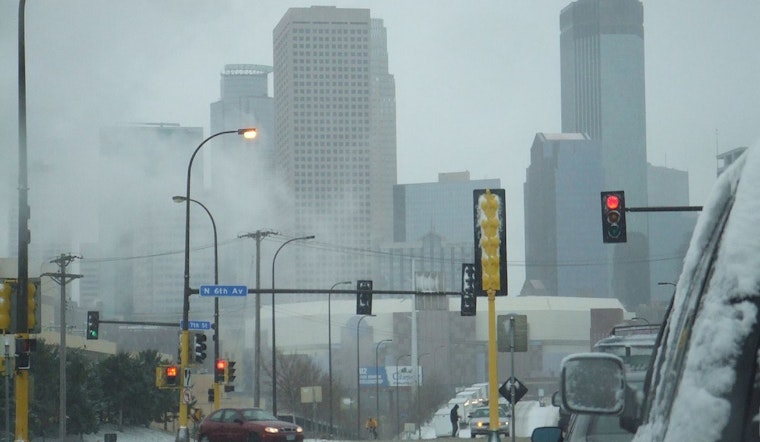
Residents in Minneapolis and surrounding areas are waking up to slick roads and icy conditions this Monday morning. The National Weather Service has issued a Winter Weather Advisory warning of a "light wintry mix" that could make for hazardous travel conditions. According to the advisory, this blend of light freezing rain mixed with sleet and snow is expected to shift into the southern Twin Cities Metro area before sunrise. The conditions are predicted to affect the Monday morning commute particularly hard, with a light glaze of ice forecast to cover untreated surfaces.
The advisory, which is in effect until 8 AM CST this morning, mentions that accumulations could include up to half an inch of new snow and a light glaze of ice. These conditions will spread into the southern Twin Cities Metro before sunrise, with the recommendation that area residents slow down and use caution while traveling. The unseasonably warm temperatures in the region, with a high near 36, are not enough to stave off the winter mix predicted by the service.
Looking ahead past today's disturbances, the NWS provides a sliver of respite; no further hazardous weather is expected Tuesday through Sunday. The rest of the week appears relatively calm in comparison, with temperatures hovering around the freezing point, and only a slight chance of rain and snow on the horizon for Saturday, as detailed by the NWS forecast.
As we approach Christmas Day, those dreaming of a white Christmas might be slightly disappointed with cloudy skies forecasted and a high near 40. Though not quite a winter wonderland, the conditions should still provide a cozy backdrop for holiday festivities. The NWS advises keeping an eye on the sky, however, as there's a chance of rain before 5 AM on Thursday Night, possibly turning to snow, albeit with only a 30% chance of precipitation.


