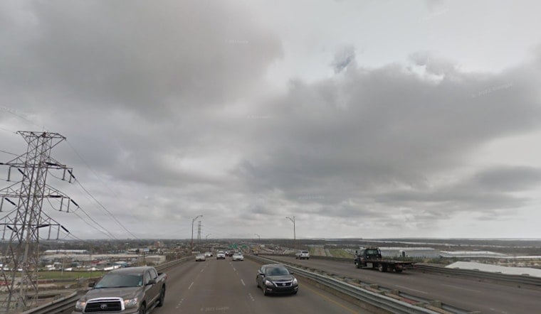
The National Weather Service in New Orleans issued a dense fog advisory early this Saturday, cautioning residents and travelers of the decreased visibility they might encounter on the roads; per the NWS advisory, the thick mist enveloping the region reduces visibility to a quarter mile or less and will persist until 9 AM CST.
With conditions pivotal for some, it's not just a blanket of fog casting shadows on southeast Louisiana and parts of southern Mississippi, but also the anticipation of potential showers and thunderstorms that might follow as the day progresses, the weather is expected to turn sunny with a high near 74 after the fog lifts, and later tonight, the odds of rain jump to 50 percent, mostly after 4 AM, followed by patchy fog again which will likely couple with increasing clouds and a mild dip in the temperature around 53.
Looking beyond today's mixed bag, Sunday's forecast introduces a chilly twist with a chance of showers in the morning and a significant drop in temperature by late afternoon, falling to around 49 degrees, this shift comes with northerly gusts that could reach up to 30 mph, signaling a brisk end to the weekend.
The start of the workweek brings a reprieve from the damp unpredictability, as Monday promises clear skies and sunshine, albeit with cooler temperatures hovering near 47 degrees, and similar conditions persisting into Tuesday before gradually warming, by Wednesday, temperatures are expected to climb back to a more comfortable 69 degrees with partly sunny skies, leading up to a slight chance of showers by Thursday and temperatures maintaining in the low 70s.


