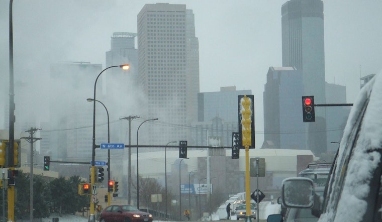
The Twin Cities are bracing for wintry conditions with the National Weather Service issuing a forecast that indicates snow is likely, primarily before 11 am today in Minneapolis, with the probability of precipitation hitting 70%, according to an NWS report. Minneapolis can expect less than an inch of accumulation during daylight hours as temperatures hover around the freezing point, but by nightfall, the mercury is set to drop to around 15 degrees with mostly cloudy skies.
The weather woes do not end there; a "Hazardous Weather Outlook" has been released detailing the potential for slick travel conditions as an inch or so of snow is anticipated to accumulate along and south of I-94 on Wednesday, with the weather service also warning of a potential short period of freezing drizzle after snow showers today, the situation is further complicated by a clipper system swiftly moving through the area which could lead to slick travel conditions especially along and north of the I-94 corridor, this is according to a statement made in an early morning update from the NWS which also highlights a swathe of central to southeast Minnesota and parts of Wisconsin under this weather caution outlook.
No SKYWARN spotter activation is deemed necessary at this time, but residents are advised to be mindful of road conditions, particularly during these light snow events. As nightly temperatures begin to plummet, hitting lows around zero degrees on Wednesday night, with wind chill values dropping to a biting -10 degrees, the forecast foreshadows frigid starts to the New Year, indicating that sub-zero morning lows are set to return as the calendar turns over.
Looking ahead, the rest of the week through to Monday will see a dance of clouds and sunshine, with daytime highs peaking at 26 degrees by Monday while the evenings retreat into the consistent single digits or low teens, and though New Year's Day might offer a partly sunny reprieve with a high near 14 degrees this fleeting warm touch won't dispel the stronghold of chilly nights that seem to insist their presence upon the skin and bone of the city's landscape.


