Baltimore residents woke up to a frosty start this morning as a strong cold front pushed through the area, ushering in a sharp drop in temperatures alongside gusty winds and the potential for mountain snow showers. According to the National Weather Service Baltimore MD/Washington DC, high pressure is expected to take over later tonight, but not before a brief visit from snow and wind chills that make it feel like the teens and 20s in most places, and even below zero over the mountains.
The near-term outlook isn't looking much better, with the likelihood of light accumulations and visibility possibly dropping half a mile, particularly along and north of I-70. If you're planning to be on the roads, especially in the western parts of the region and into the Alleghenies, brace yourself for slick conditions and blowing snow. Despite the cold shoulder from Mother Nature, highs are expected to creep up slightly, with areas south of I-66/US-50 potentially reaching the mid-30s, as reported by the National Weather Service.
Looking toward the weekend, low pressure approaching from the south on Saturday means there could be even more ridges of excitement—or dread—for those averse to winter's touch. The potential for wintry precipitation to portions of the area is on the horizon, the NWS explains, with high pressure making an encore appearance on Sunday before the next system rolls in early next week. For those hoping for clearer skies, Sunday seems to be your best bet, with mostly sunny conditions forecasted.
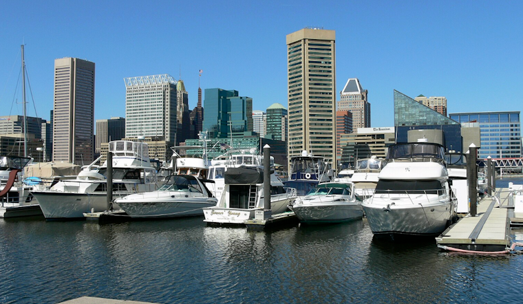
For mariners, the conditions are just as brisk, with a Small Craft Advisory in effect until this afternoon. A strong cold front will pass through the waters from northwest to southeast between 4 AM and 8 AM this morning, warns the NWS, with the potential for gale-force winds in the wake of the front. The rest of today, however, should see gusts settle into the more manageable 20-30 knot range. The high seas should calm as high pressure arrives, setting the stage for more tranquil times on the water by Friday.


