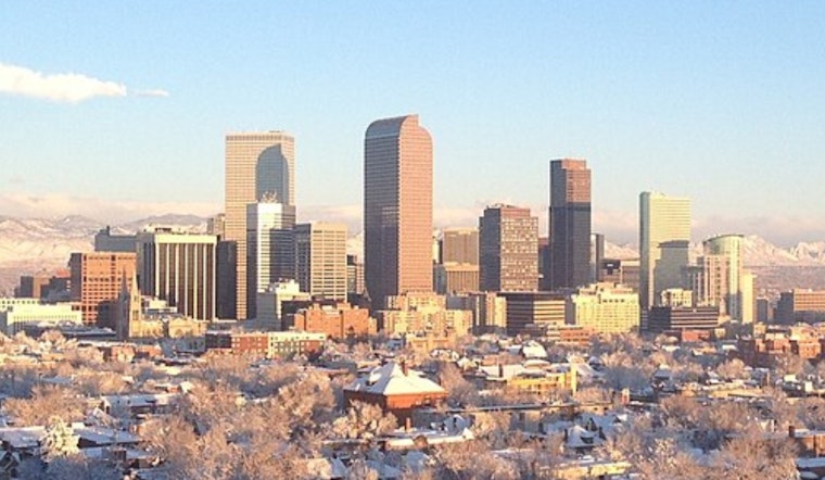
Denver locals can breathe a slight sigh of relief as the NWS Denver Bureau paints a chill yet sunny picture for the upcoming week. The latest report confirms "A Few Clouds" with temperatures currently standing at a bracing 18°F. According to the National Weather Service, Denver residents should expect an uptick in warmth with the day's high hovering near 45°F and clear skies dominating most of the day.
As night falls, temperatures will dip to a moderate 24°F. The wind, persistently hailing from the south southwest, may gust up to 15 mph. With such conditions, those planning evening activities should dress in layers to combat the desert chill after the sun retires. The coming days offer a consistency in skies - mostly sunny to clear and a gradual climb in daytime temperatures, promising a relatively mild week ahead. The wind chill, currently making it feel as low as 6°F, is expected to become less biting as the week progresses.
For those looking ahead, Sunday's forecast suggests another mostly sunny day with the thermometer peaking at 52°F, and the south-southwest wind will continue at a gentle 6 mph. The NWS bulletin indicates a run of pleasant weather, with Monday and Tuesday bringing consecutive days of sun and climbing highs of 56°F and 59°F, respectively.
Evenings throughout the week, while cooler, seem to hold steady with lows in the 20s and 30s. Wednesday's high of 54°F will provide a break in the warming trend, before the mercury rises to 58°F on Thursday. As the weekend approaches, a slight cooldown returns, with Friday's daytime high reverting to a cooler 46°F. These figures, drawn from the comprehensive forecast, suggest layering remains a practical approach for Denver denizens navigating the chilly mornings and warmer afternoons.


