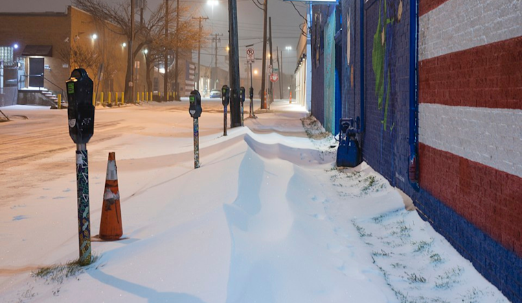
The National Weather Service in Fort Worth has issued a Winter Storm Watch, which is set to remain in effect from Friday afternoon through Sunday morning, covering a wide swath of North Central and Northeast Texas, including the Dallas-Fort Worth area. The forecast indicates a high probability of heavy mixed precipitation, with potential snow and sleet accumulations between 1 and 5 inches. Ice accumulations could range from a quarter of an inch to half an inch, with isolated areas possibly experiencing up to three-quarters of an inch.
Travel disruptions are expected to increase as the storm develops, with the National Weather Service cautioning residents that travel could become "impossible." Preparations should include delaying non-essential trips and taking precautions like carrying a winter storm kit if travel is unavoidable. The incoming weather is also likely to "down power lines" and potentially cause "sporadic power outages," as noted by the Dallas Weather Forecast. Residents should be ready for "significant ice accumulation on power lines and tree limbs," which may lead to widespread and long-lasting power outages.
Adding to the region's challenges, the National Weather Service has also issued an Extreme Cold Watch that starts from Saturday evening and extends through Monday morning. Communities across North and Central Texas are bracing for "dangerously cold wind chills as low as 10 below zero." Such extreme conditions could lead to frostbite and hypothermia in cases of prolonged exposure to the cold, particularly if proper precautions are not taken.
Residents are advised to dress in multiple layers, including accessories like hats, gloves, and face masks, if venturing outside becomes a necessity. With the entire state forecast to be impacted, frequent checks on vulnerable community members are recommended. In anticipation of the cold snap, the proper use of portable heaters and the avoidance of indoor use of generators or grills are critically important. These preparations are crucial for safe navigation through what looks to be a hazardous and intensely cold weekend.


