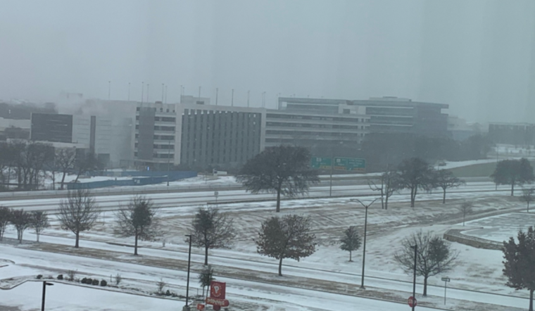
Dallas and its surrounding areas are bracing for a significant winter storm expected to sweep through North and Central Texas starting Friday afternoon and extending into late Saturday night. The National Weather Service in Fort Worth has issued a Winter Storm Watch, advising residents of potential moderate to heavy accumulations of snow, sleet, or ice.
Residents are advised to "monitor the latest forecasts for updates on this situation" and to have an emergency kit ready before the onset of the storm. The NWS warns that "roads, especially bridges and overpasses, will likely become dangerous." The forecast from the National Weather Service indicates that Thursday night could begin to see the first signs of the incoming weather, with a 40 percent chance of showers transitioning to a greater risk for precipitation and much colder temperatures as the weekend approaches, potentially dropping to lows around 17 degrees Fahrenheit by Friday night.
According to the National Weather Service's winter weather message, the impending inclement weather carries not only the threat of treacherous road conditions but also "significant ice accumulation on power lines and tree limbs," which may cause power outages. The alert goes on to forecast "extremely cold temperatures" that will likely become life-threatening and could damage unprotected pipes and put livestock at risk over the weekend.
The window of concern extends from Friday afternoon through late Saturday night as per the Winter Storm Watch, emphasizing the need for the community to "make winter preparations to homes and businesses before Friday" and to "consider delaying or altering weekend travel plans," as per the NWS report. With temperatures forecasted to dangerously plummet, the preparation for and response to this extreme weather event will be crucial for the safety and well-being of residents across the region.


