The National Weather Service in Jacksonville, FL, has issued a freeze watch for the region, as temperatures are expected to sharply drop come Thursday evening. In a statement, the Freeze Watch by the NWS warns of "sub-freezing temperatures as low as 21 possible" in areas spanning northeast and northern Florida as well as southeast Georgia. This cold snap, anticipated to begin Thursday evening and continue through Friday morning, prompts residents to take precautionary measures to shield against the expected chill.
According to the Freeze Watch advisory, local populace are advised to prepare to adequately protect outdoor pets, young children, the elderly, and the homeless, who are "especially vulnerable to the cold." Temperature-sensitive plants should be safeguarded, and steps should be taken to secure water pipes from freezing by wrapping them or allowing them to drip slowly, to possibly mitigate the risks of pipe bursts. As the region braces for this cold wave, residents are urged to arrange for appropriate protection from the drop in mercury.
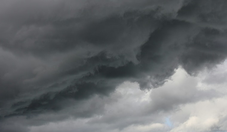
Meanwhile, the general forecast for Jacksonville continues to show a 30 percent chance of showers today, mainly between 2pm and 5pm, with overcast skies and a high near 63 degrees. Following the brief rain, conditions are expected to clear up but with a significant decrease in temperature. Tonight, the chance of precipitation dips to 20 percent and a low around 46 degrees is expected.
As we move towards the weekend, the weather outlook from the NWS projects "mostly sunny" skies with highs creeping up towards the mid-50s to the mid-60s. While a crisp and clear Martin Luther King Day is predicted, with sunny conditions and a high near 55 degrees.


