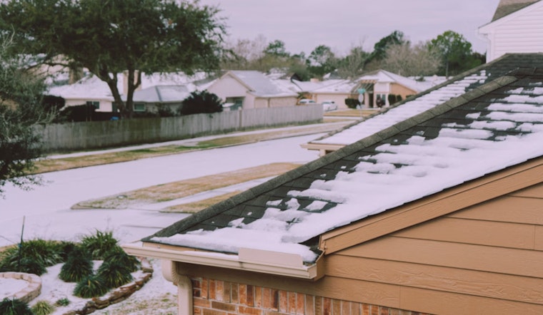
Houston faces a mix of rain, sleet, and possible freezing rain this morning, with winter storm and extreme cold warnings in effect. The National Weather Service predicts a 50% chance of precipitation, a high near 35°F, and wind chills between 20 and 25°F.
Conditions are expected to worsen as bridges and roads may ice over when temperatures drop to 32°F or below. Overnight lows could reach 22°F, with wind chills between 10 and 15°F and north winds gusting up to 20 mph. Residents are advised to use caution when traveling.
Click2Houston reports that winter storm, ice storm, and extreme cold warnings start today ahead of possible freezing rain. Ice accumulations of 0.2–0.5 inches could cause power outages and tree damage. Officials advise avoiding travel unless necessary and carrying emergency supplies if venturing out.
Monday will start cold, with temperatures in the teens and 20s and north winds gusting up to 30 mph. Icy spots are possible if Sunday’s ice does not fully melt. Click2Houston warns that wind chills may dip below zero in some areas. By Monday afternoon, highs near 40°F are expected, helping to thaw icy conditions.
The extended forecast for Houston shows the freeze ending Tuesday morning, with temperatures staying above freezing for the rest of the week. Another freeze is possible this weekend, but no precipitation is expected. Residents should monitor updates as forecasts are refined.


