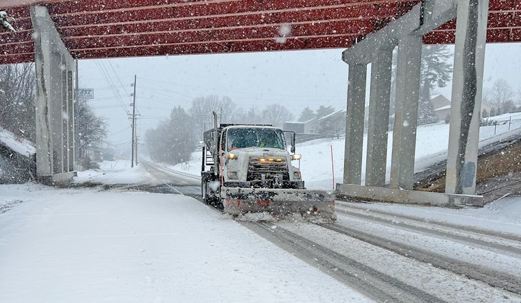
Knoxville is gearing up for a weekend of hazardous weather, with a cocktail of wintry precipitation on the forecast. According to the National Weather Service (NWS) in Knoxville, residents should expect snow and sleet today, with an 80% chance of precipitation and total daytime accumulation of less than half an inch.
Tonight's forecast looks even rougher, as the NWS is predicting a 100% chance of a hodgepodge including rain, snow, freezing rain, and sleet before transitioning just to rain after 4 am. To prepare effectively, folks are advised to keep an extra flashlight, food and water should they absolutely need to brave the treacherous roads. "Travel could be nearly impossible," said the NWS, while addressing the potential dangers posed by the upcoming storm.
The NWS's Hazardous Weather Outlook for the region warns of ongoing impacts from today through Monday due to a complex winter storm. Significant travel disruptions are expected Saturday evening through Sunday morning due to a mix of snow, sleet, and freezing rain, with the south and along the Southern Appalachians also bracing for heavy rain.
Additional concerns include strong mountain winds developing this evening and running through Sunday, which are expected to quickly shift temperatures up in the foothills and change precipitation back to rain. Yet as the storm begins to taper off, another challenge looms large: "Water will refreeze on roads and elevated surface on Sunday night into Monday morning with black ice, especially on secondary roads," the NWS cautions while highlighting the risks of post-storm conditions.
In terms of preparation, the Ice Storm Warning issued emphasizes the likelihood of power outages and tree damage due to significant icing, with potentially up to a half-inch of ice accumulation in some areas. "Prepare for possible power outages," the warning advises, underlining the risk of downed power lines and branches. As Monday rolls in, the weather is slated to become partly sunny, with a high near 27, but the NWS already warns of very cold temperatures Monday night into Tuesday, with low temperatures plummeting to single digits and chill values reaching down to -5 to -15 degrees in higher elevations.


