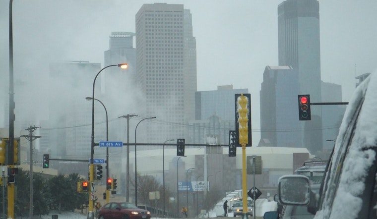
The weather in Minneapolis is showing its characteristic variability, with forecasters predicting a range of conditions as the week progresses. According to the National Weather Service, residents should anticipate a chance of flurries before 9 am today and a mostly cloudy sky with a calm breeze shifting from west northwest around 5 mph.
As the temperature dips tonight to a low of around 7 degrees, the skies are expected to clear partially. However, the respite is short-lived, with Sunday ushering in freezing rain and sleet, likely to transition to all sleet after 2 pm. The chance of precipitation is 70%, with minor ice and sleet accumulations possible. Southeast winds will pick up slightly, increasing from light to 5 to 10 mph in the morning.
Looking ahead to Sunday night, clouds will hang overhead before yielding to clearer skies, with temperatures hovering around a low of 21 degrees. The incoming week starts with mostly cloudy conditions on Monday and a mild high of 33 degrees, with calm winds becoming south southwest around 5 mph.
Monday night's forecast introduces a slight chance of freezing rain after midnight. Despite mostly cloudy conditions persisting, the calm wind should provide a semblance of stability. By Tuesday, Minneapolitans might see a trifecta of freezing rain before 11 am, rain between 11 am and 1 pm, and a slight chance of snow after 1 pm, all amidst mostly cloudy conditions and a gentle west wind.
Moving through midweek, signs of clarity emerge, with partly sunny skies on Wednesday and a modest high near 38 degrees. The pattern of partly cloudy nights will linger before the city confronts a more mixed bag of rain, snow, and freezing rain chances by Thursday night. The week closes with a 20% chance of snow on Friday and partly sunny conditions, providing a respite from the varied precipitation encountered earlier.


