Pittsburgh, brace yourself for a historic dose of winter. The National Weather Service in Pittsburgh has issued a winter storm warning, effective until noon EST tomorrow, with a heavy snowfall anticipated, according to their 6:33 AM EST Area Forecast Discussion. Snow accumulations could challenge the steel city's records, with estimates ranging from 9 to 15 inches, potentially leaving residents grappling with significant snowfall and icy conditions south and east of Pittsburgh.
The NWS warns "A major winter storm will continue to impact the region early Sunday morning through Monday," forecasting that the snow storm, arriving with precise lethargy tonight, will blanket the area, bringing snow ratios near 18:1. With temperatures stuck in the teens and single digits, the snow promise to remain dry and fluffy, which means shovelers and snowplows are in for a marathon session.
Travel conditions are expected to sharply deteriorate. High-resolution models suggest that snowfall rates of 1 to 1.5 inches per hour are a possibility as snow bands beef up Sunday afternoon into evening. "Travel between 10am Sunday to 10pm Sunday will likely be very difficult to impossible across the region," the NWS forecasts, hinting at a day best spent indoors with a hot cup of cocoa — or a shovel at hand.
After the storm, arctic air barrels in, with the NWS anticipating a Cold Weather Advisory or Extreme Cold Warning through late Tuesday. Residents should prepare for a rude chill with wind chill values expected to plummet to -10F to -25F. And, as cold air piles in from the Midwest, conditions conducive to snow showers and squalls are on tomorrow evening's menu, though the NWS maintains a low to moderate confidence in their development.
Airport operations are bracing for impact with "significant snow accumulation" flagged by the NWS. This potent weather system brings prolonged IFR-LIFR conditions, with a wintry mix anticipated at certain hubs like MGW before swiftly reverting back to snow by late afternoon.
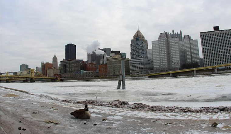
Long-range weather patterns point to a protracted shiver staying in the region through early February. With infrastructure risks like frozen pipes on the upswing, and regional rivers expecting thicker ice accretions, Pittsburghers would do well to wrap up well and prep for a winter ride that shows no signs of easing up automatically.


.jpg)