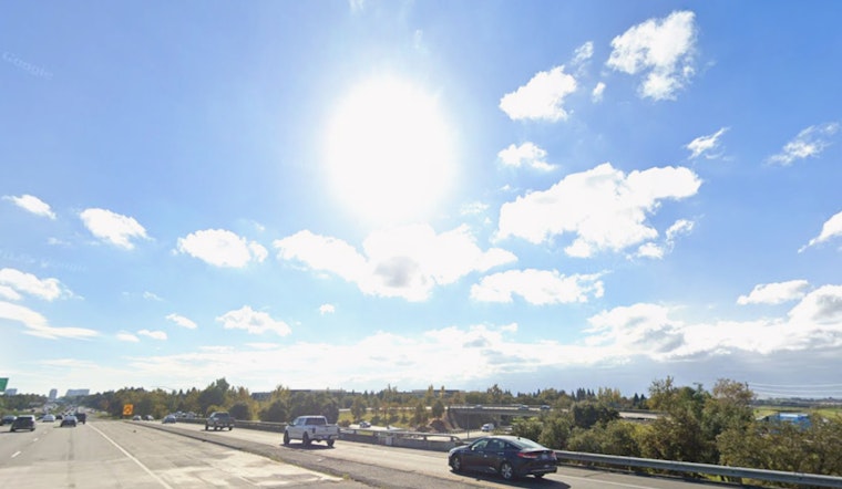
Sacramento is easing into today, January 25, with a midwinter chill and mostly clear skies. Overnight lows dipped into the upper 30s, while parts of the city are holding in the low 50s. The breezy north winds that kicked up on Saturday afternoon are finally backing off. Highs should top out near 50°F on Sunday, with temperatures sliding back to around 38°F Sunday night.
Tonight And Sunday
The National Weather Service calls for partly cloudy conditions tonight (Saturday, January 24 into Sunday, January 25), with a low near 38°F and a gentle east-northeast wind between 2 and 10 mph. Sunday is expected to be mostly cloudy with a high near 50°F. The breezy north winds that gusted Saturday afternoon are forecast to taper off overnight, although a few pockets of gusty wind may hang on over the Delta and the foothills.
Fog And The Morning Commute
Patchy morning fog is on the table for low-lying parts of the valley through Tuesday, January 27, 2026. Visibility could briefly drop on the morning commute, so drivers should build in some extra time and stick with low-beam headlights when conditions are murky. Most areas should see skies clear by the afternoon. For more on how this recent fog pattern set up, check out this dense fog deep dive.
Midweek Outlook
Looking to midweek, a weak system may bring a slight chance of light rain late Tuesday night into Wednesday morning (Tuesday, January 27, into Wednesday, January 28). The odds are low, and any rain should be light and spotty. Forecasters expect seasonable temperatures through the week, with highs nudging into the upper 50s by Monday and again on Thursday. Periodic onshore breezes are possible with any passing shortwaves. An umbrella might be handy for Wednesday morning, but afternoons are expected to stay mostly dry.


