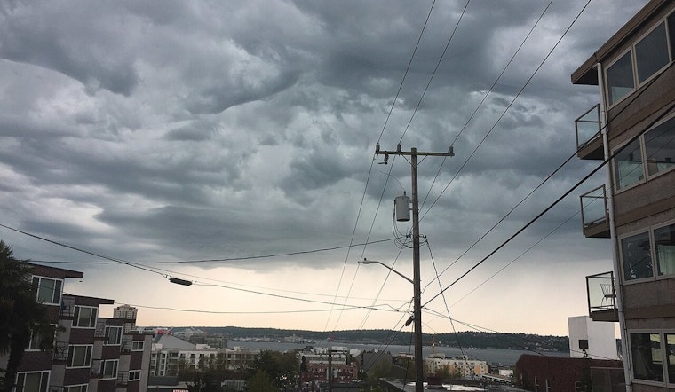
Seattle residents, don't pack away those umbrellas just yet—the National Weather Service in Seattle is forecasting a week where showers become as familiar as the city's skyline. The latest report suggests an unrelenting mixture of rain and patchy fog through early this week, with overnight rain expected and low temperatures hovering in the mid-40s. Sunday won't offer much respite, with an 80% chance of precipitation and similarly soggy conditions stretching into Monday, according to the NWS report.
Still, while the skies may continue their dreary weeping, locals can look forward to a slight break in the clouds as Tuesday's forecast predicts partly sunny skies after lingering morning fog, leading into a more varied weather pattern mid-week, including some sun by Friday—Seattle's silver lining. In terms of temperature, it looks like a more or less consistent range is on the horizon, with daytime highs ranging from the upper 40s to mid-50s, and the nighttime lows will provide a great excuse to indulge in those warm coffee shop retreats by dipping into the low to mid-40s.
However, the weather isn't the only concern. With moderate to heavy precipitation expected over the Olympics and northern and central Washington Cascades, there's an elevated threat of river flooding in King County and its northern neighbors come Monday and Tuesday, if you trust the words of the NWS in their Hydrologic Outlook. As snow levels rise to 7000 feet by Monday morning, rivers fed from these parts are predicted to swell—potentially overflowing thanks to the 2 to 5 inches of rain forecasted through early Tuesday morning.
So, for those living in proximity to or along riverbanks rising today, it's vital to keep an eye on those forecasts—rivers could start to crest later Monday into Tuesday, "Current forecasts have numerous rivers cresting in action stage," states the NWS, and it's worth noting that even a minor uptick in rainfall could push some rivers into flood stage—making monitoring the latest river forecasts a prudent measure for those potentially in harm's way.


