Seattle woke up to a gray, muggy start on Saturday, January 31, 2026, with temperatures hovering near 47°F. The payoff for putting up with the humidity comes this afternoon, when a warm front should bump highs into the upper 50s, near 59°F, before light showers creep in later today and steadier rain settles in late tonight. Rain is expected to pick up after about 1 a.m. Sunday, February 1, 2026, and continue through much of Sunday, with several tenths of an inch likely.
This Afternoon Into Early Evening
Saturday afternoon looks mild and mostly cloudy, with highs near 59°F and only a scattered chance of light showers before about 5 p.m. Any rain during that window should be brief and light, with totals generally under a tenth of an inch. South-southeast winds will stay on the gentle side, only a few miles per hour, so it will feel more like a calm, damp spring day than a winter storm. These details come from the latest forecast update by the National Weather Service.
Tonight Into Sunday Morning
After about 1 a.m. Sunday, February 1, 2026, rain becomes much more likely as a steadier, wetter pattern moves in. That wet stretch should last into the day on Sunday, with the heaviest rain lining up with the morning commute. Highs on Sunday are expected to land around 53°F. Forecasters see rainfall totals between a quarter and a half-inch for many lowland spots, with higher amounts over the Olympics and Cascades. Expect slick roads for the Sunday morning drive and generally damp conditions for any outdoor plans.
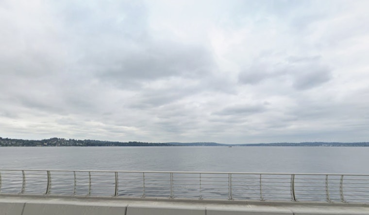
Boaters, Rivers and Marine Conditions
Out on the water, it is not a great weekend to test your sea legs. A Small Craft Advisory is in effect through 4 p.m. PST Sunday for coastal waters from Cape Flattery to Cape Shoalwater. Seas are expected mainly 8 to 12 ft, with some areas seeing waves up to 15 ft Sunday night into early Monday. On land, the Skokomish River was running a little above flood stage early Saturday and is expected to drop below flood stage by the afternoon, but stay near flood stage into Monday. Low-lying areas on the south slopes of the Olympics should keep an eye out for runoff and standing water. For the official advisories and marine products, see the National Weather Service.
How The Week Looks
Another system slides through on Monday, keeping occasional showers in the mix. After that, things start to turn more cooperative. A building upper-level ridge by midweek should push afternoon temperatures into the upper 50s to around 60°F and trim back rain chances by Tuesday and Wednesday. That pattern sets up a drier, milder stretch later in the week, with more sun and above-normal afternoon temperatures for early February. If you are planning outdoor activities, the second half of the week should feel noticeably more pleasant than this soggy weekend.
Local Note
A rain-soaked weekend was already on the radar in an earlier January 29 forecast, which flagged the wet pattern setting up over the region. This update fine-tunes the timing and puts extra spotlight on the marine advisory for coastal waters.
Bottom Line
Enjoy the mild air on Saturday, then keep the umbrella close at hand for Sunday, February 1, 2026. Plan a little extra time for the Sunday morning commute, and mariners should steer clear of exposed coastal waters while advisories are in place. Keep an eye on updates from local officials and the National Weather Service, since river levels and marine conditions can change quickly once the rain gets going.


