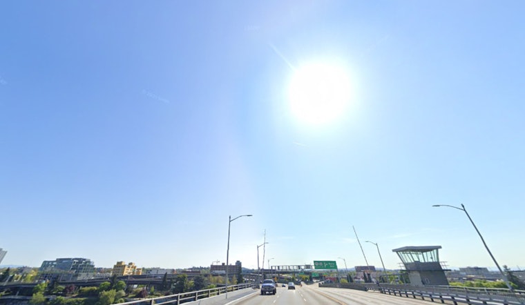
As of 11:15 a.m. today, skies over Portland were clear and the airport thermometer was sitting near 47°F. Expect the sunshine to hold through the afternoon, with a high near 53°F before temperatures slip back into the upper 40s by late day.
Afternoon Winds Pick Up
The tradeoff for all that blue sky will be a stiff east-northeast breeze. This afternoon, winds across the metro are expected to run about 9-13 mph, with gusts around 25-30 mph in much of Portland. Closer to the Columbia River Gorge and in the eastern suburbs, the wind cranks up a few notches. Troutdale, Corbett and other exposed spots could see gusts commonly in the 35-55 mph range, and nearby ridgetops may briefly top that.
A Wind Advisory remains in effect for parts of the eastern Portland metro through 3 p.m. PST Saturday, according to the National Weather Service Portland.
Weekend Outlook
If you can handle the breeze, the weekend looks like a win. Saturday and Sunday are expected to stay dry and mostly sunny, with daytime highs around 53°F and cooler, clear nights. Offshore east winds will slowly weaken on Sunday, so gusts should ease as the day goes on, although some breezy pockets are likely to linger into early next week.
Forecast guidance suggests the strong high pressure holding this pattern in place will start to break down in the middle to latter part of next week, and a chance for light rain may creep back into the forecast around Wednesday or Thursday.
Fog and Chilly Mornings
While the afternoons stay bright, nights and early mornings are a different story for some valleys. Low clouds or fog are likely in sheltered pockets, especially across the southern Willamette Valley and stretches of the I-5 corridor. Stronger east winds should limit how far that fog spreads, but where it settles in, it may hang around for a bit.
Overnight lows will drop into the upper 30s in many low-lying areas, with a few spots dipping close to freezing, while higher terrain stays a bit milder. An Air Stagnation Advisory is posted from 7 p.m. Saturday through 10 a.m. Tuesday for parts of the region, and a Dense Fog Advisory for some valley areas remains in effect this morning, according to the National Weather Service Portland.
What to Expect for Commuters
Drivers should be ready for gusty crosswinds on exposed bridges and through canyon corridors this afternoon and Saturday. High-profile vehicles and cyclists will feel it the most, so a tighter grip on the wheel or handlebars would not be a bad idea.
On the water, mariners should heed the Small Craft Advisory in effect through the afternoon near favored gap zones and make sure loose gear is secured. On land, it is smart to allow a little extra travel time and to avoid parking under unsecured objects during the peak wind periods.
Advisory details can change as the pattern evolves, so for the most current watches and warnings, check the National Weather Service Portland before heading out.


