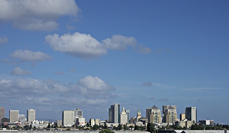
Oakland rolled into Friday under mild, partly cloudy skies and temps in the mid-50s, with the kind of bright afternoon set to top out in the upper 60s. In town, it is a classic easy Bay Area day, with light winds and mostly sunny conditions on tap. The real drama is not on Broadway or in the hills, though it is out along the Pacific coast, where large swells are turning beaches hazardous through Saturday evening. Overnight into Saturday, drivers can also expect patchy fog in low spots and some extra wobble on ferry rides near the open bay.
High Surf Advisory And Coastal Hazards
According to the National Weather Service, a High Surf Advisory is in effect from 4 AM. Friday, February 6 through 9 PM. Saturday, February 7, for Pacific Coast beaches. Breaking waves are expected in the 17 to 22 foot range, with an elevated risk of sneaker waves and strong rip currents. Forecasters warn that even on sunny, calm-looking days, sudden surges can sweep people off rocks and jetties, and boaters are urged to respect Small Craft Advisories for offshore waters through the weekend. While the advisory is active, the safe move is to stay well back from the waterline and off piers and rocks.
Sunny Friday And What To Expect In Town
The Bay Area is expected to warm into the mid to upper 60s inland, with highs near 67°F before cooling a few degrees later in the afternoon as a light southwest breeze develops, according to the San Francisco Chronicle. Any early low clouds should thin by late morning, leaving clearer skies, while shoreline neighborhoods hang on to slightly cooler readings. It is excellent weather for a walk or a patio lunch around Oakland, but forecasters are clear that it is not a cue to get anywhere near the rough surf.
Fog, Flights, And Ferries
Patchy fog is expected before 10 AM. Saturday in low-lying valleys and bayside neighborhoods, which could briefly reduce visibility and slow some early commutes. Aviation forecasters note that local terminals may see MVFR conditions at times. Out on the water, marine conditions will stay rough, and ferry crossings could be choppy while Small Craft Advisories remain posted, so water travelers should budget some extra time. There is also a 20 to 40 percent chance that light rain reaches the North Bay Sunday night, with only a slight chance elsewhere in the region, according to the National Weather Service.
Weekend Into Next Week
Looking a bit farther out, forecast models hint at a broader pattern shift by midweek that could bring a better shot at more widespread rain Tuesday and Wednesday. The San Francisco Chronicle notes that the exact timing and rainfall totals are still uncertain. If a deeper trough develops and moves through, higher coastal elevations may see the heaviest amounts, while some inland areas could end up drier thanks to rain shadowing.
Quick Safety Tips
Stay out of the surf, and keep clear of jetties, piers, and rocks while the High Surf Advisory is in effect. Check the National Weather Service forecast before heading to the shoreline or going offshore, and give yourself extra time for any foggy morning commutes.


