Residents across Cleveland and the surrounding areas are bracing for a significant bout with winter today. The National Weather Service in Cleveland has expanded a Winter Weather Advisory to include a larger portion of the region due to several converging weather events. According to their early morning forecast, the advisory comes as a strong clipper system moves through, bringing with it light to moderate snowfall, followed by snow showers and squalls, as well as gusty winds and blowing snow as an Arctic front makes its presence felt this evening.
Travel conditions are expected to deteriorate quickly, particularly in the morning, as snow blankets roads and reduces visibility. A period of more intense snowfall, with rates of 0.5 to 1.0 inches per hour, is likely to impact areas southwest of the Bowling Green to Millersburg line. This situation is set to "slow travel," as noted by the forecast discussion, so those traveling should prepare to possibly adjust their morning commute plans accordingly. Later in the day, as the front crosses the area between 4 PM and 8 PM, snow showers and potential squalls are expected to bring further challenges to travelers.
In the wake of the cold front, the region will face another issue: dangerously cold temperatures. Warnings and advisories about the extreme cold—from lows around -5 to +5F and wind chills plummeting to -25 to -30F in parts of Northwest PA—are in effect from late tonight into Saturday morning. Folks are advised to bundle up, protect pipes and pets, and be very cautious if stepping outside is necessary during these conditions.
Looking ahead, the forecast calls for a short respite Sunday through most of Tuesday with drier weather and a warming trend beginning Monday. This modicum of relief will be short-lived. "The next organized system looks to move through the area Tuesday night and Wednesday," bringing a mix of rain and snow, according to the NWS forecast discussion. This mix of precipitation will likely lead to varying travel conditions mid-week as the system pushes through.
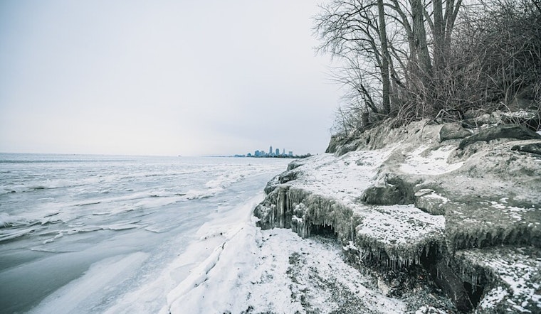
For mariners, the Gale Warning on Lake Erie will pose significant challenges. The NWS has advised that gusts could reach up to 40 knots as the Arctic front bears down, suggesting shifting ice could become a problem for the already ice-covered lake. As the system passes through, lighter winds are expected late into the weekend.


.jpg)